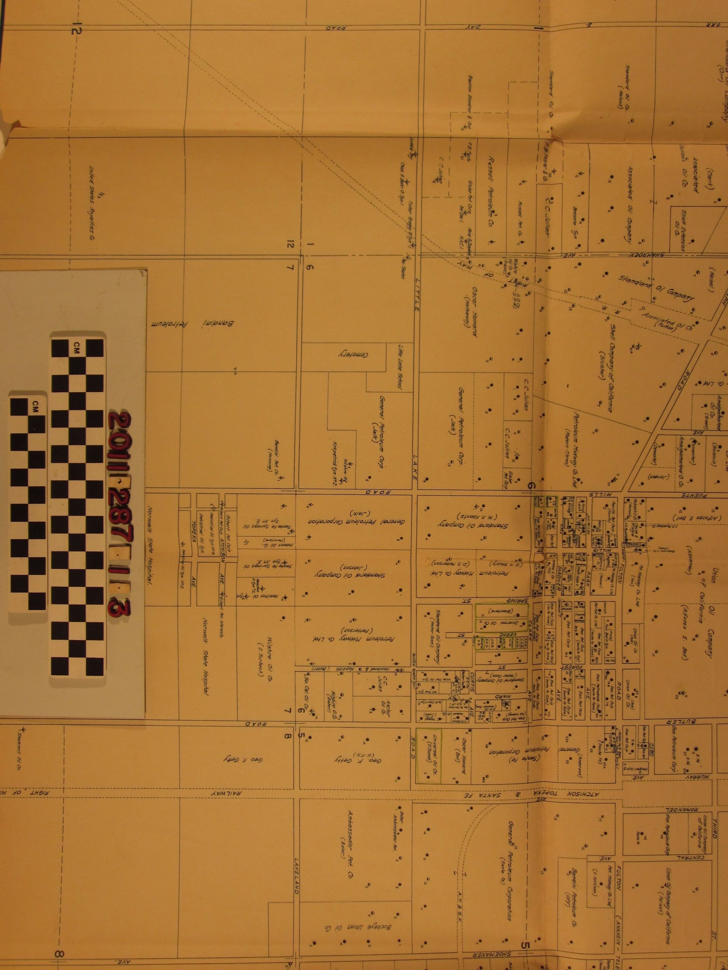
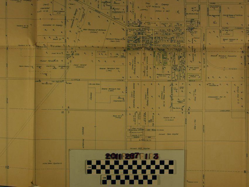
A map of the east Fullerton oil region and surrounding areas
Entry/Object ID
2011.287.1.3
Description
A map of the east Fullerton oil region and surrounding areas, 1924. The area covered extends from Anaheim and Orange on the south, Fullerton and Brea on the west, Walnut and Pomona on the north and Chino and Chino Hills on the east. Tracts are specified by owner and also by oil company lessee, as the case may be. Those developed for oil production have numbered well locations. Roads, railroad tracks and other features are also included. With many tears, browning, creases, soiling, stains and other wear, the overall condition is poor.