Name/Title
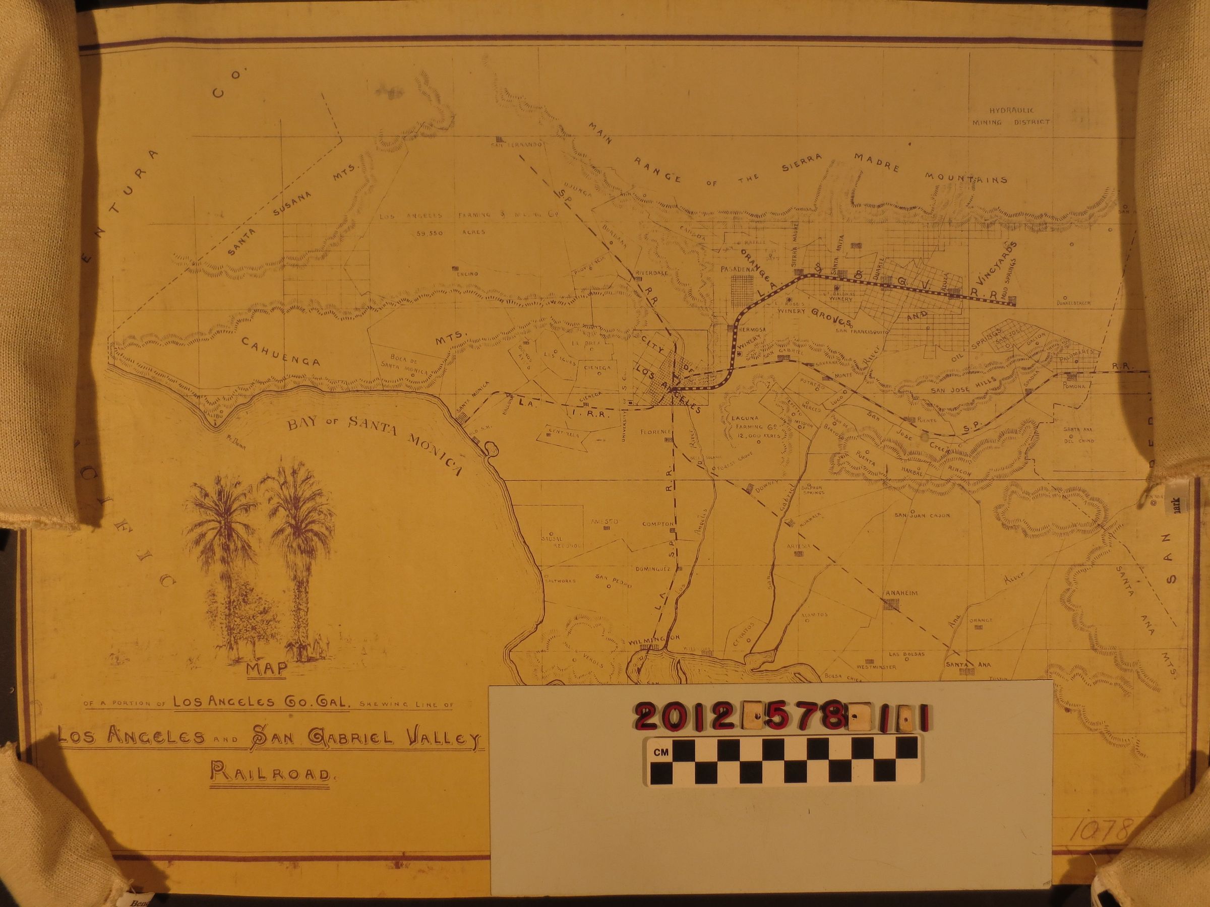
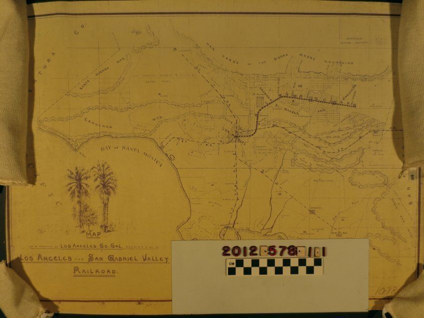
A map of the Los Angeles and San Gabriel Valley Railway and Los Angeles CountyEntry/Object ID
2012.578.1.1Description
A map of the Los Angeles and San Gabriel Valley Railway and Los Angeles County, ca. 1887. The item shows ranches, towns, rivers, hills and mountains, existing rail lines, winery locations, the harbor at San Pedro and other details in Los Angeles County, then still including what became, a couple of years later, Orange County. Within this was the proposed line of the Los Angeles and San Gabriel Valley Railway from Los Angeles through Alhambra, South Pasadena, Santa Anita, Duarte, Azusa and to a terminus at Mud Springs (San Dimas.) The condition is overall good.Lexicon
Search Terms
Cattle--Marking--Los Angeles County (Calif.), Cattle brands--Los Angeles County (Calif.)