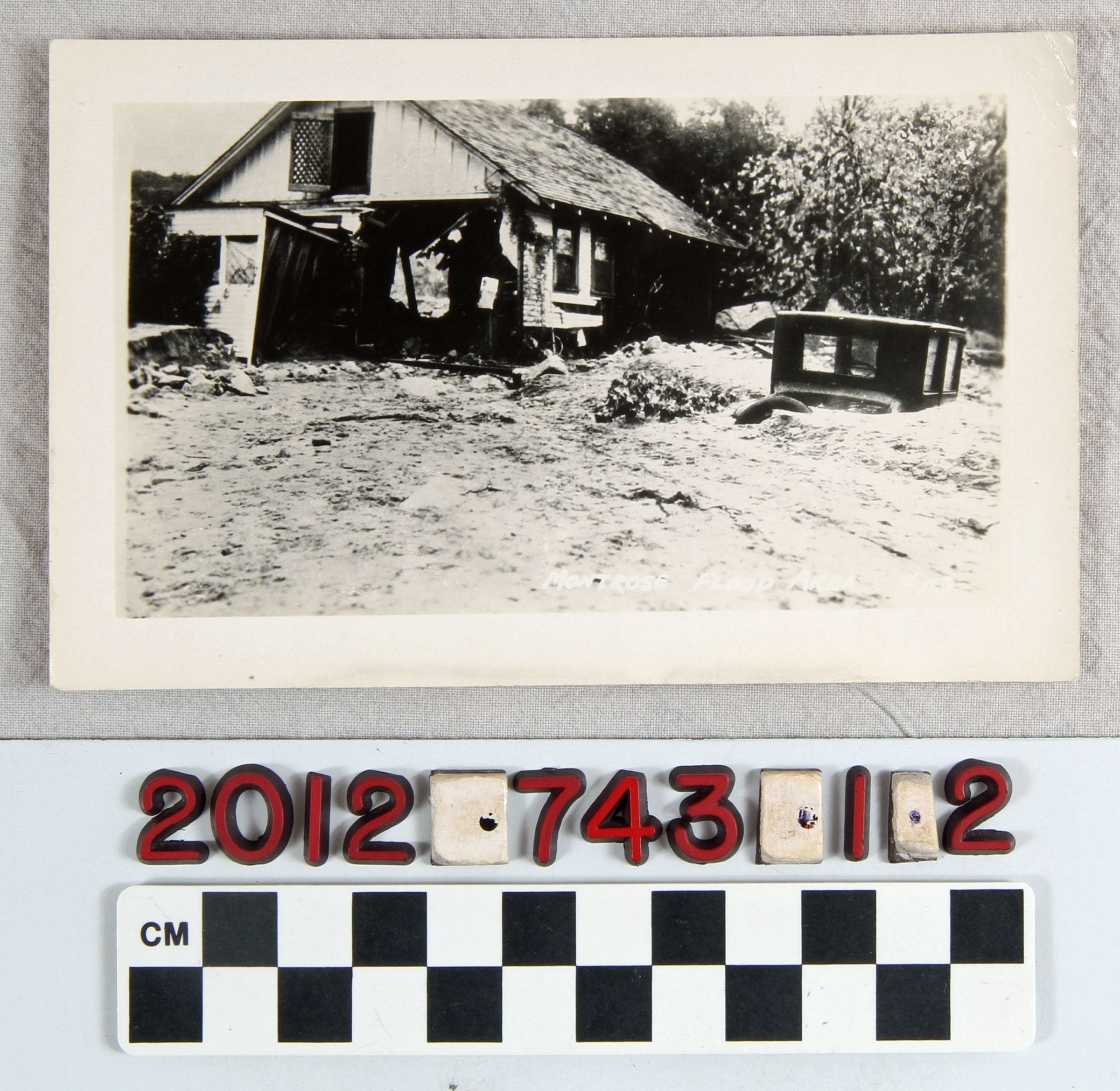
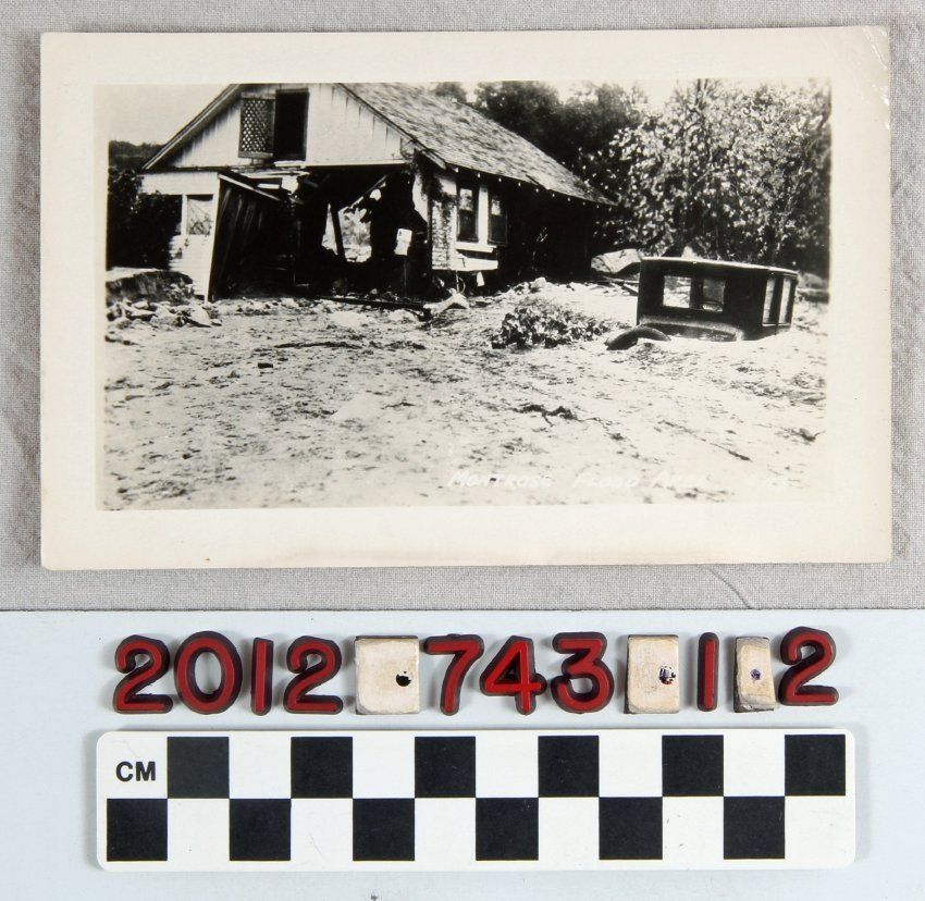
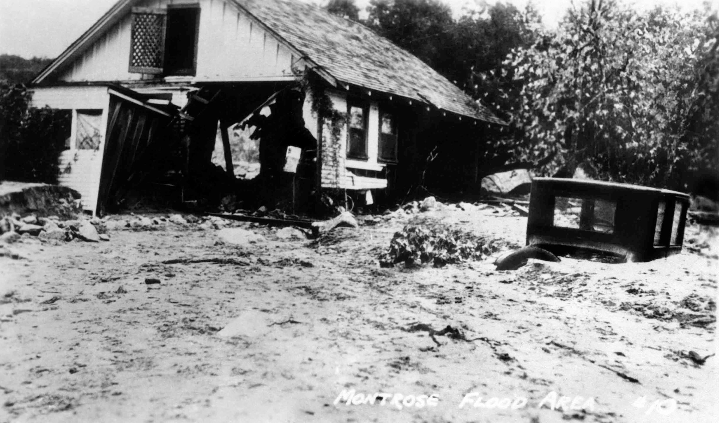
A real photographic postcard "Montrose Flood Area #10." ca. 1930s
Entry/Object ID
2012.743.1.2
Description
A real Photographic Postcards, ca. 1930s. "Montrose Flood Area #10." The postcard shows an image of a house destroyed by the floods which hit the Glendale and Montrose areas during the 1930s. Along the side of the house is a car flooded over the by rising water level. It appears that the level is over two to three feet high. The postcard shows minor creasing to the bottom edge, minor creasing to the upper right corner, light surface soiling and yellowing along the edges, most noticable on the reverse side. The undivided back area as print which is faded but indicates areas for a correspondence, address, and an area to place a postage stamp. The RPPC also shows signs of minor warping. The postcard is in good condition.