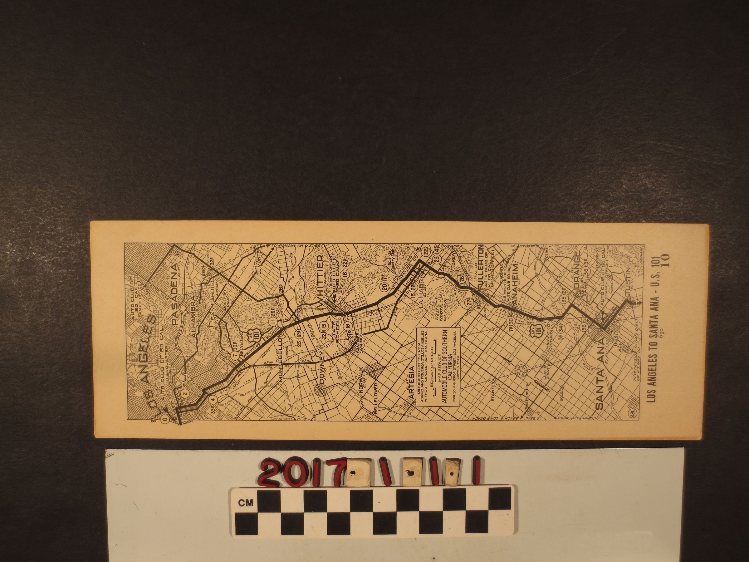
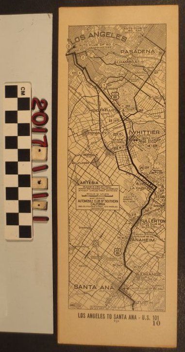
A Strip Map of Los Angeles, CA. ca. 1920s.
Map produced by Automobile Club of Southern California (AAA) showing the miles from a branch office in Santa Ana to the headquarters in Los Angeles. The route follows the US 101 Freeway and is a total of 37 miles. There is some discoloration along the edges, but otherwise in good condition.