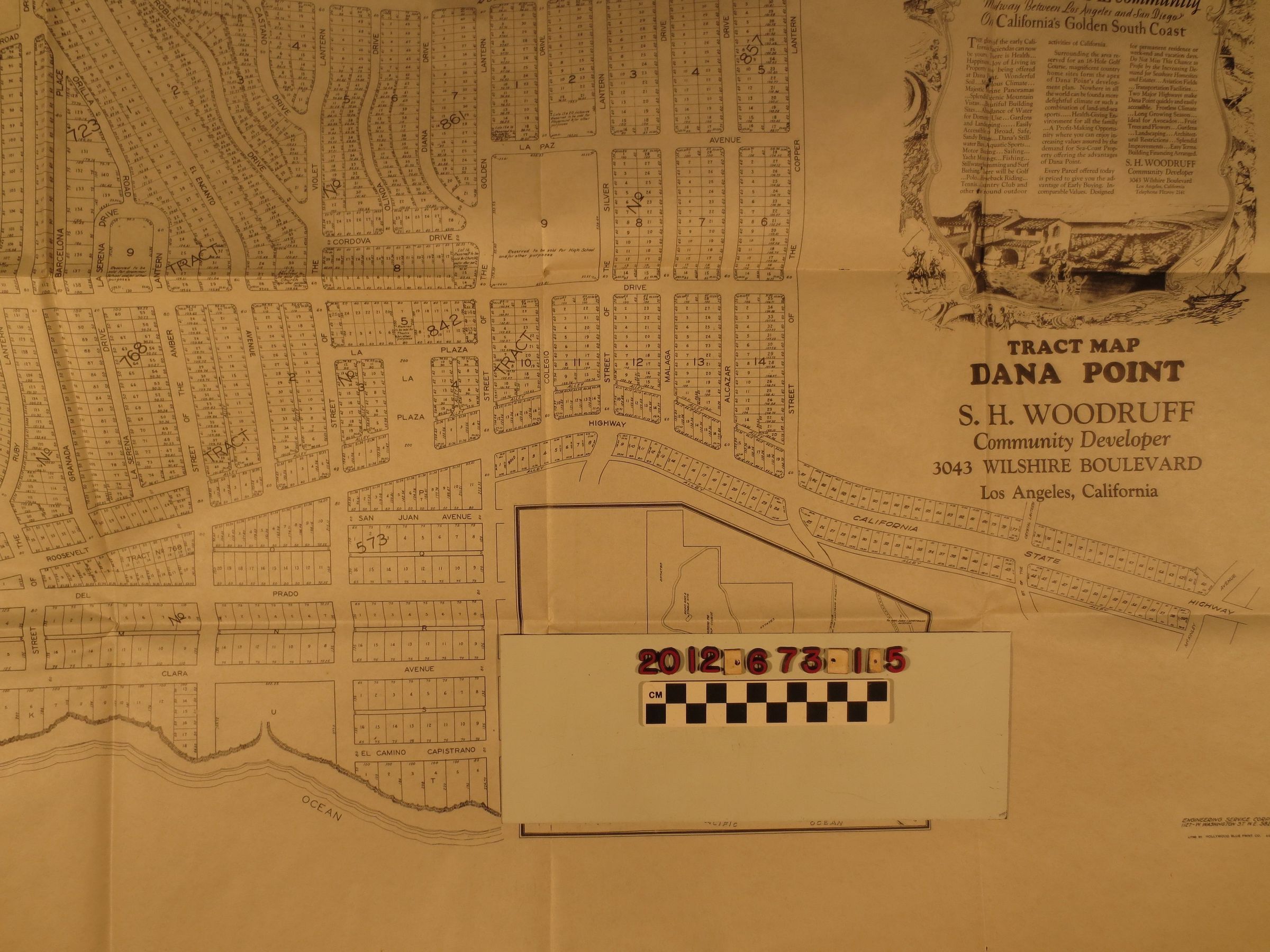
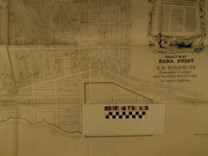
A tract map for the subdivision of Dana Point, California, ca. 1924. The item shows streets, lots and other detail for the seaside community in Orange County and has the name of its developer, S. H. Woodruff, who also developed the famed Hollywoodland tract. The overall condition is good.
Lexicon
Search Terms
Cattle--Marking--Los Angeles County (Calif.), Cattle brands--Los Angeles County (Calif.)