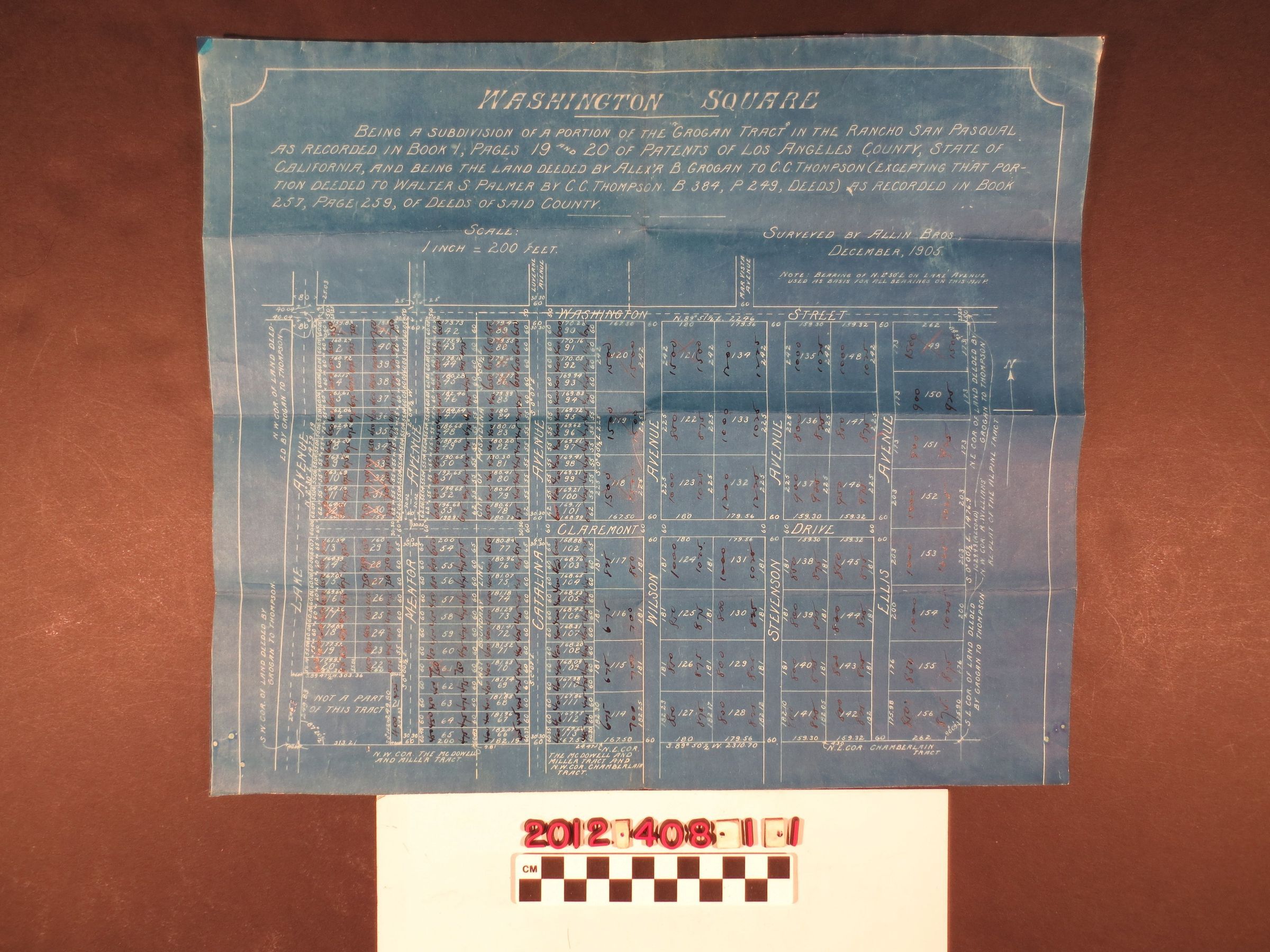
A tract map for the Washington Square subdivision, Pasadena, California
Entry/Object ID
2012.408.1.1
Description
A tract map for the Washington Square subdivision, Pasadena, California, 1905. The map shows the tract situated between Orange Grove Avenue and Washington Boulevard, north to south, and from Hill Street on the west to near Allen Avenue on the east. Lot sizes, street names and ink-inscribed numbers that appear to be prices are also of note. With creases, some edge tears, and light soiling, the overall condition is fair.