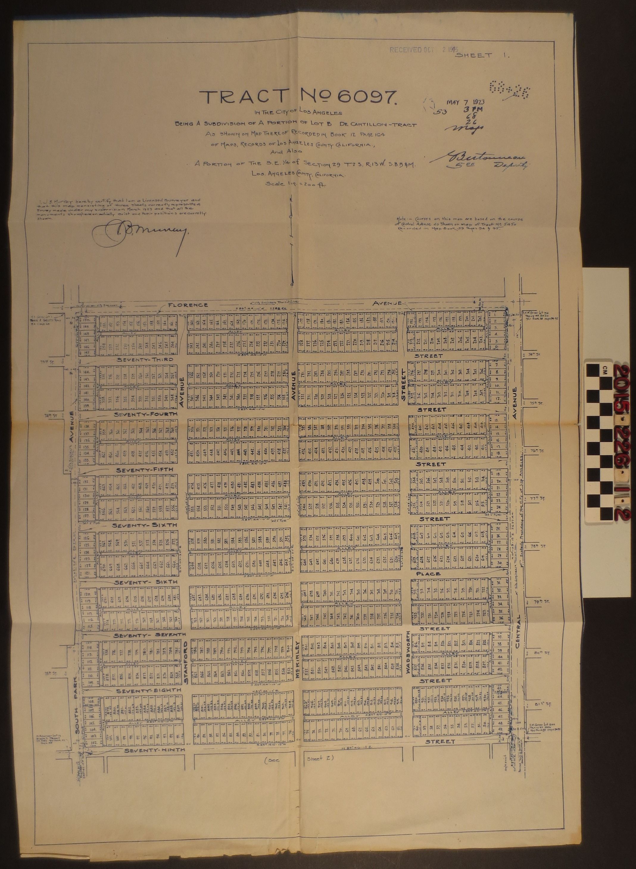
A tract map, No. 6097, Lot B De Cantillon tract, Los Angeles
Entry/Object ID
2015.226.1.2
Description
A tract map, No. 6097, Lot B De Cantillon tract, Los Angeles. The property was surveyed 7 May 1923 and recorded in county records in Map Book 12, Page 164. The map includes bearing numbers and was certified by J. B. Murray. The tract is gridded and includes plots from Florence Avenue to Seventy-Ninth Street, between South Park Avenue, Stanford Avenue and Central Avenue. Each plot is numbered accordingly. The map was previously folded and includes crease marks, but is generally in good condition with discoloration and minor tear at the center.