Name/Title
AAA STRIP MAP, FOOTHILL BOULEVARD TO CAMP BALDYEntry/Object ID
2004.205.1.2Description
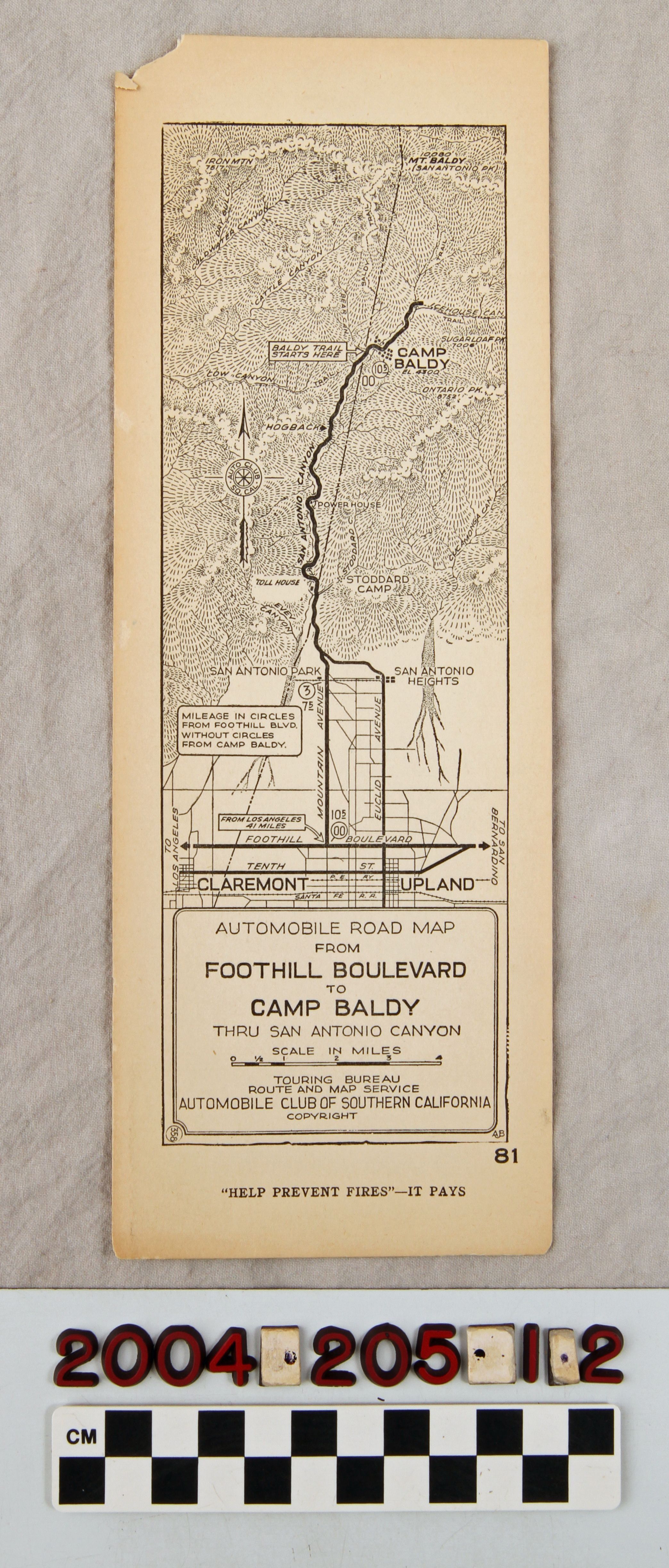
AAA STRIP MAP, FOOTHILL BOULEVARD TO CAMP BALDY
Color: Black; White
A strip map showing the route from Foothill Boulevard to Camp Baldy, issued by the Automobile Association of Southern California, ca. 1920s. The artifact shows the route from Mountain or Euclid avenues in the Claremont and Upland areas. Mileage markers are in circled borders and uncircled along these routes and major thoroughfares on and near the routes are identified. There are community and city names, locations of attractions and places of interest on the canyon road. At the bottom, within a bordered box, is the title, scale of miles, and note that the map came from the Touring Bureau Route and Map Service of the club. At the bottom is the admonition "'HELP PREVENT FIRES' - IT PAYS" with the number "81" next to it. With light rubbing at the corner, small creases at the corners, light soiling, browning, small signs of foxing on the back, silverfish damage in some areas, and some smudges on the front and back, the condition is good.Lexicon
LOC Thesaurus for Graphic Materials
Tourist trade, AutomobilesSearch Terms
Two-dimensional, Maps, Automobile Club of Southern California, Canyons--California, Southern