Name/Title
AAA STRIP MAPS, LOS ANGELES TO SAN DIEGO ROUTEEntry/Object ID
2005.78.1.2Description
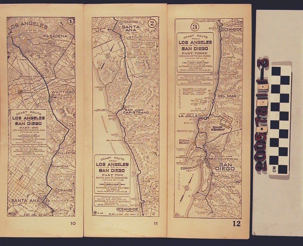
SECOND OF THREE AAA STRIP MAPS, LOS ANGELES TO SAN DIEGO ROUTE, 1920s.
The map was published by the Automobile Club of Southern California. It is part two of three in a series of maps with a final destination in San Diego. The map (part two), shows a route that continues from Santa Barabara on toward Oceanside. The mileage is given along the route as well as other cities along the way such as Tustin, Irvine, El Toro, Laguna, San Juan Capistrano, San Onofre, Las Flores, Ysidora. Other points of interest are on the map such as beaches and missions. The reverse side of the map has a list of hotels, service stations and garages that were contracted by the Automobile Club of So. Calif. It is in fair condition.Lexicon
Search Terms
Automobile Club of Southern California, California, Southern--Description and travel, Roads--California, Southern