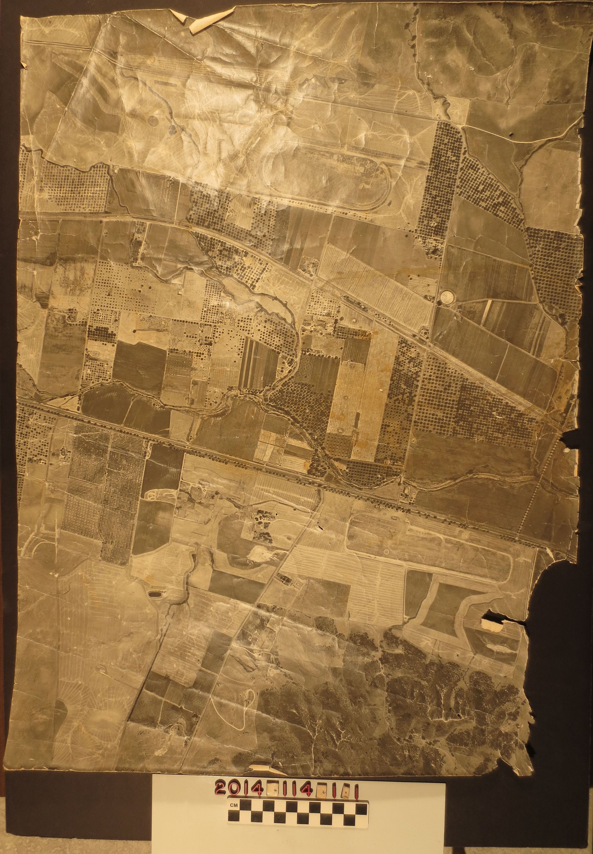
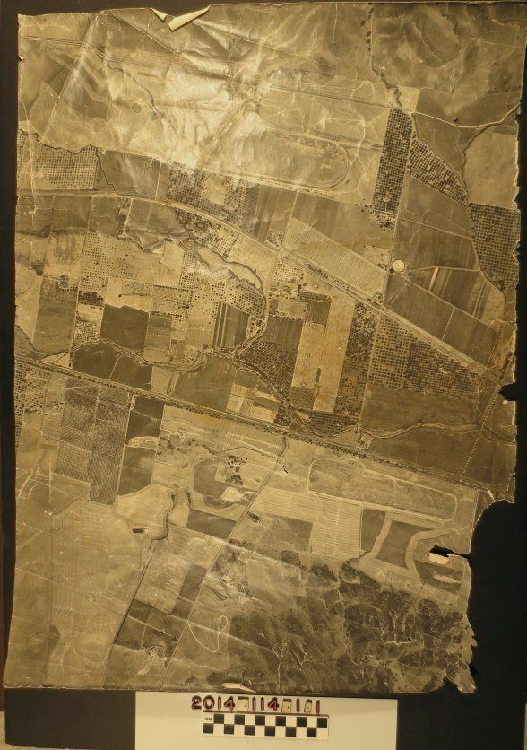
Aerial of Puente Hills, San Jose Creek, ca. 1940s.
Wide angle aerial shot of modern day Puente Hills and Hacienda Heights, around the areas surround Azusa Avenue, Valley Blvd and Colima Rd. There are views of a race track, Sky Ranch, a reservoir and agricultural land. In poor condition due to moderate loss at edges, corners and throughout map (small holes), creasing and surface soiling throughout and a stainon reverse.