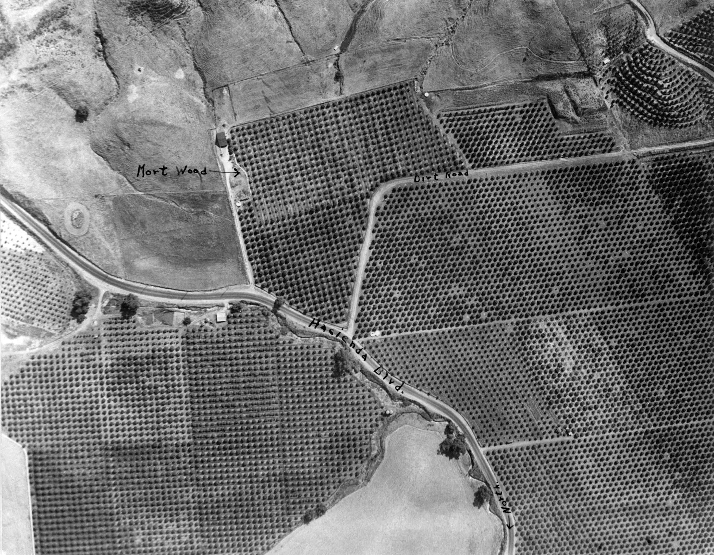
Aerial photograph of sections of North Whittier Heights, now Hacienda Heights
Entry/Object ID
2013.612.1.13
Description
Black and white photograph shows Hacienda Blvd, ca. 1940. The set shows areas roughly from the Puente Hills near Hacienda Boulevard and today's Colima Road northward to the vicinity of Hacienda and Gale Avenue and from 7th Street eastward to Stimson Avenue. The image is part of a group of aerial photographs of North Whittier Heights, now Hacienda Heights, ca. 1940. With warping, yellowing, creases, light soiling and edge rubbing, the general condition is good.