Name/Title
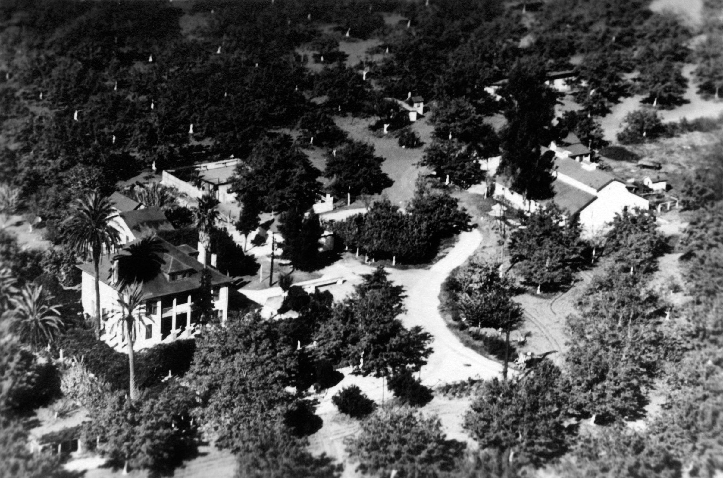
AERIAL VIEW OF THE ROWLAND HOUSE, Ca. 1940sEntry/Object ID
2000.156.1.1Description
Color: Black; White
An aerial photograph taken slightly south and east of the Rowland House, ca. 1940s. The building is at left with the eastern (or front) and southern elevations most visible. Some large palm trees and smaller trees, bushes and shrubs surround the structure. Above (or to the rear) is a smaller structure, while an enclosed area, perhaps with other buildings, is above and to the right. A large barn and other outbuildings are at the upper right. Behind these, that is, to the west and north, are dark-colored trees, probably walnuts, in a grove. Dirt roads cross through the center and lower parts of the image and are access roads from Gale Avenue (to the lower left corner) and Stimson Avenue (to the lower right.) The date is purely hypothetical, with no indications, save perhaps the type of paper the photo is printed on to suggest a time period. Except for slight wear on the edges, the artifact is in good condition.
Number-Units: 1Lexicon
LOC Thesaurus for Graphic Materials
Aerial photographsSearch Terms
Two-dimensional, Photographs, Dwellings--City of Industry (Calif.), Historic houses--City of Industry (Calif.), Ranches--Los Angeles County (Calif.)