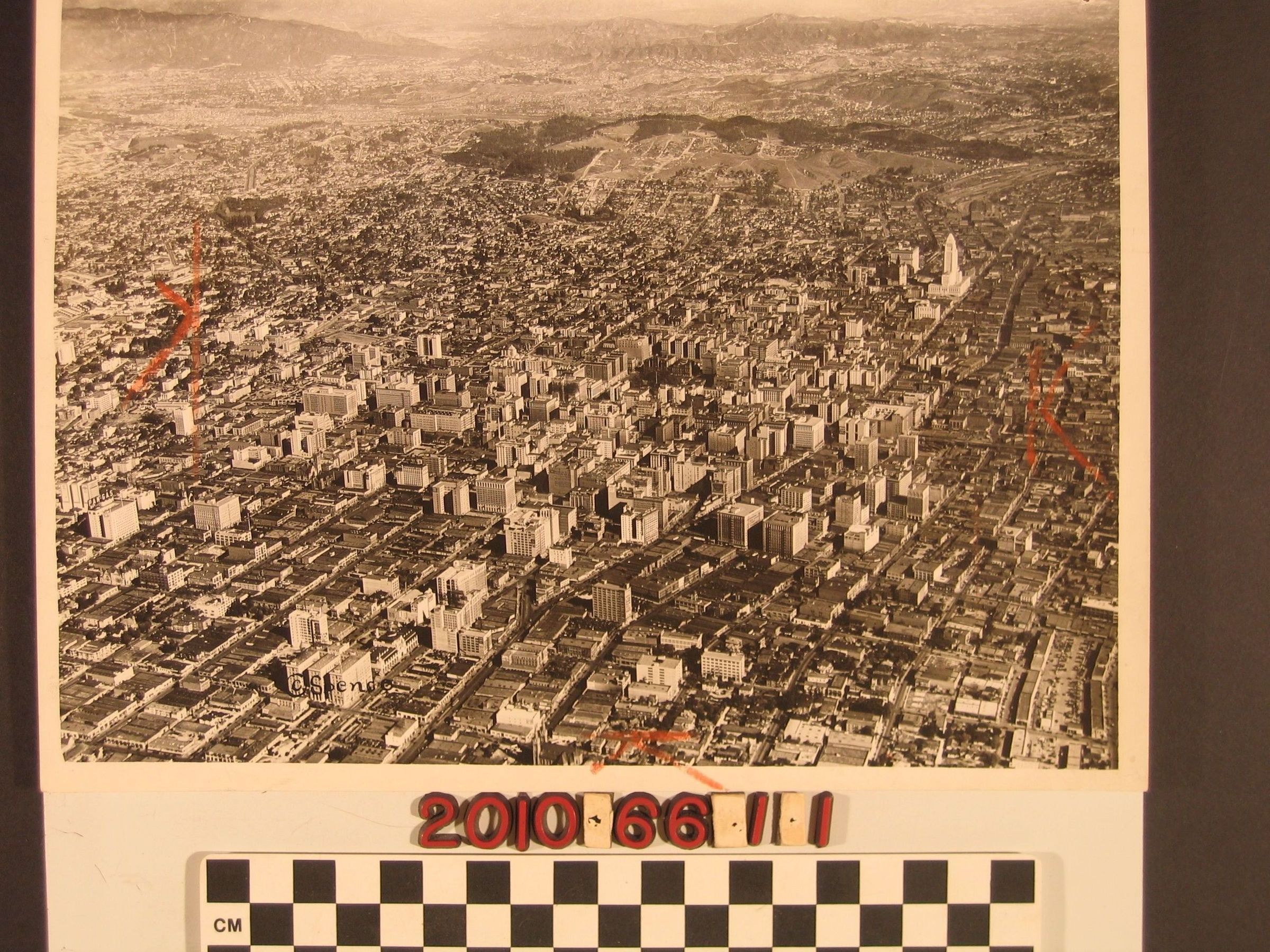
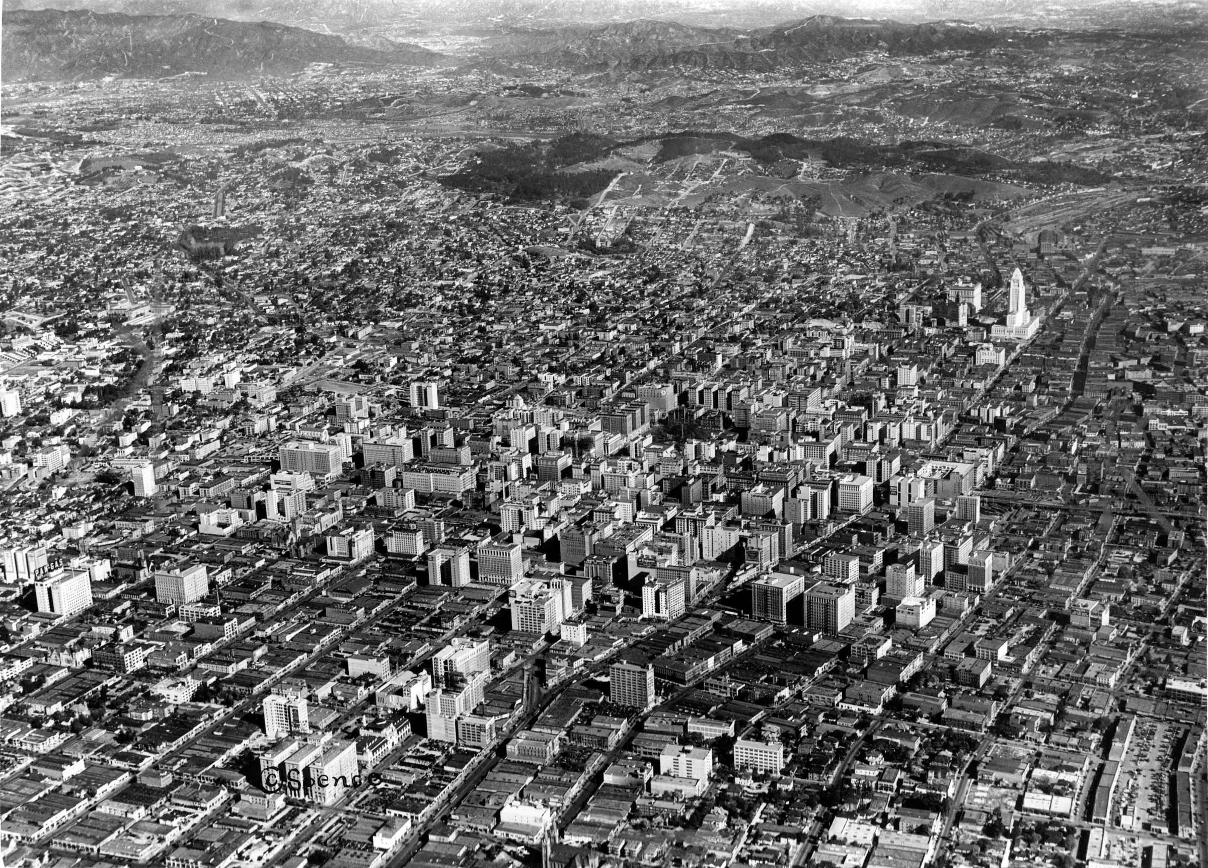
An aerial view of downtown Los Angeles, Spence Airplane Photos, 2 November 1927. As identified by inscriptions on the reverse, the view is north from 12th Street between San Pedro Street and Grand Avenue showing the taller structures of the financial and shopping districts south of City Hall and the older portions of the city. To the center top is the area around Elysian Park and beyond into Glendale and sections of the eastern San Fernando Valley. At the left is the Westlake Park area north towards Silver Lake, Echo Park and Los Feliz. There are orange pencil marks for cropping on the image and the reverse has a Spence stamp with the ID number, date, and location. There are other inscriptions, as well. With much soiling on the reverse and some creases, the overall condition is good.