Name/Title
"ANNEXATION MAP OF THE CITY OF LOS ANGELES"Entry/Object ID
2004.4.1.1Description
Color: Black; Orange
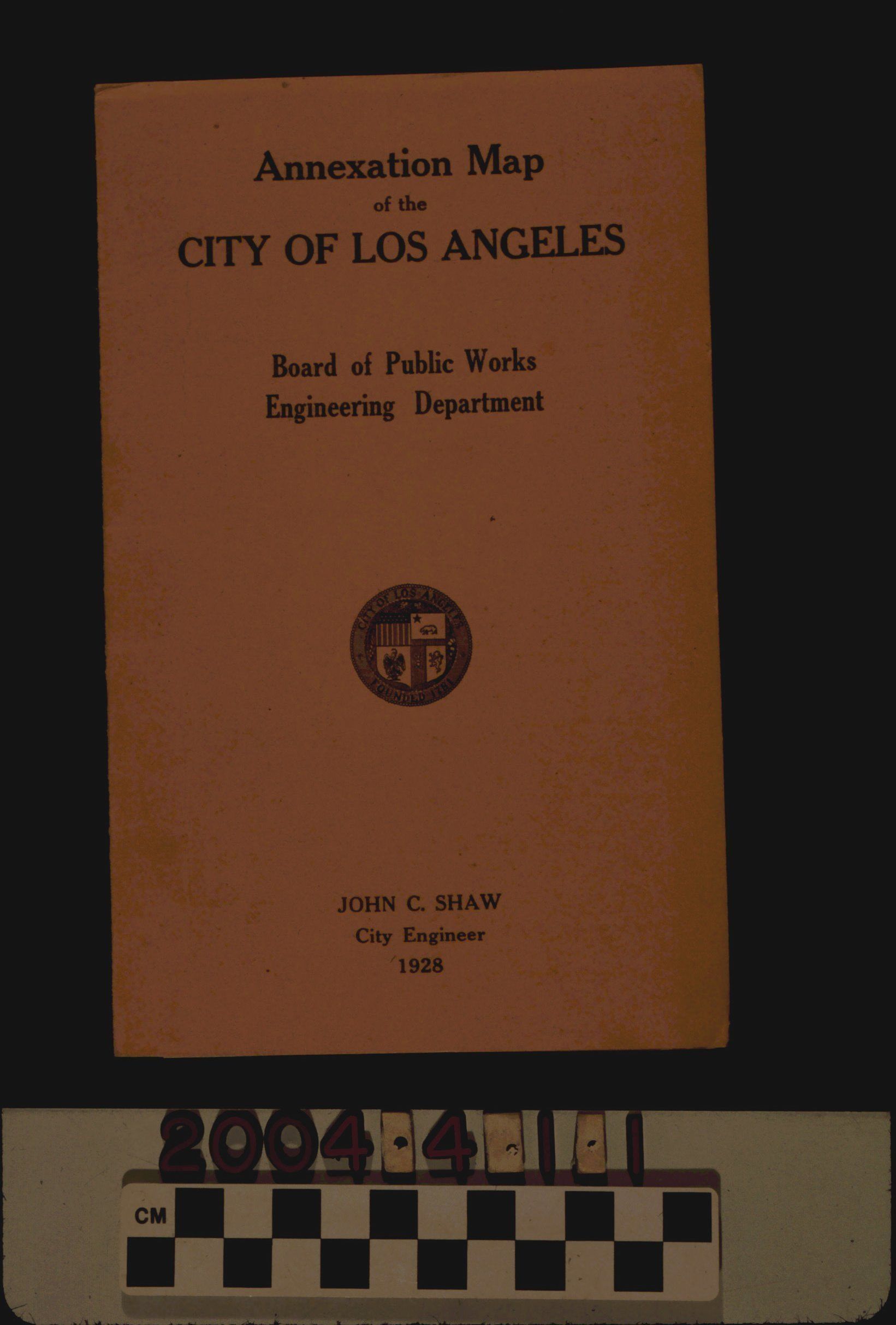
"Annexation Map of the City of Los Angeles," by the Los Angeles Board of Public Works Engineering Department, 1928. The item has an orange wrapper with the title, publisher, city logo, date, and the name of City Engineer John C. Shaw on the front. On the back cover is "The 100% Creed of Public Relations" observed by the department. The inside front cover contains information on the area, topography, and annexation of the city. The map shows the many additions made to the city through annexation, so that city boundaries are in broken lines and the area of the municipality is in a pale yellow color. Surrounding cities and communities, roads, railroad and streetcar lines, hills and mountains, and other features are also of note. At the bottom left is the title and scale of miles, as well as a table with the history of annexation, starting in 1859 and up to February 1928. With creases on two sides of the opened map, dents on the cover corners, and slight paper yellowing, the condition is good.Lexicon
Search Terms
Three-dimensional, Pamphlets, Los Angeles Board of Public Works. Engineering Department, Annexation (Municipal government)--Los Angeles (Calif.)