Name/Title
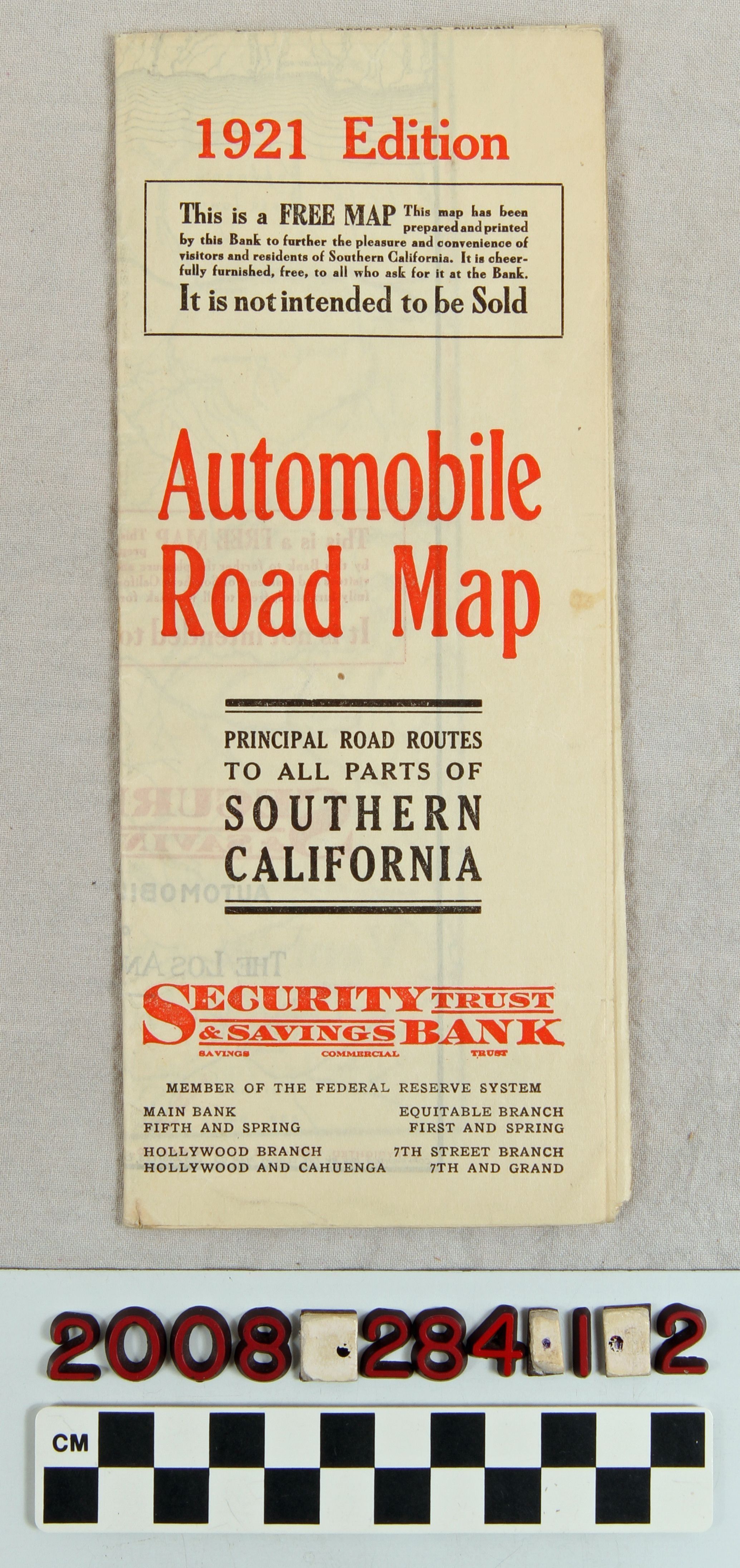
"Automobile Road Map, 1921 Edition"Entry/Object ID
2008.284.1.2Description
"Automobile Road Map, 1921 Edition," issued by Security Trust and Savings Bank. When completely unfolded the map covers from Simi Valley on the west to near Palm Springs on the east and from Palmdale and Victorville on the north to San Juan Capistrano and Murrieta on the south. Paved roads are in red, dirt or fair roads in black, and poor or private roads in dashed double lines. There are also maps showing routes from Los Angeles to San Francisco, Sacramento, and Reno; Major routes in San Diego County; and routes in the Ventura and Santa Barbara areas. There are also panels for the bank and branches, the Auto Club and a mailing panel to send the map elsewhere. With one torn section, soiling, a few creases and some browning, the condition is good overall.Lexicon
Search Terms
California. Department of Public Health. Bureau of Child Hygiene, United States. Department of Labor. Children's Bureau.