Name/Title
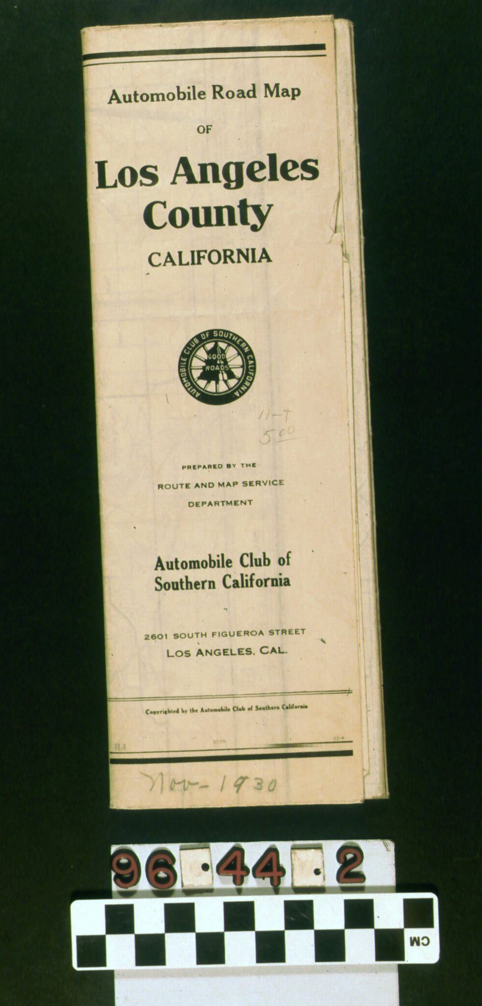
AUTOMOBILE ROAD MAP OF LOS ANGELES COUNTYEntry/Object ID
96.44.1.2Description
Automobile road map of Los Angeles County: enlarged section of Southern California from Tejon Pass & Lancaster to Pomona & Long Beach and shows highways, connecting roads and city streets. White paper with black ink. Given to members by the map service department of the Automobile Club of Southern California. Name and publisher of map printed at bottom left. Legend square at bottom right. On back, the map index lists locations of cities, towns, post offices, stations, boulevards, roads, canyons, passes, grades, rivers, lakes, reservoirs, mountains, ranges, peaks, hills, buttes, camps, resorts, ranches, valleys, parks, clubs, oil fields, mines, schools, churches, missions, hospitals and cemeteries. Paper has yellowed and is torn along some of the folds but is still strong. Overall appearance is fair. Automobile Road Map of Los Angeles County, Nov - 1930 (in pencil).Lexicon
Search Terms
Documentary Artifact, Maps, Automobile Club of Southern California, Roads--California, Southern, Tourist trade--California, Southern