Name/Title
AUTOMOBILE ROAD MAP OF LOS ANGELES COUNTYEntry/Object ID
2003.64.1.1Description
Color: Black; White
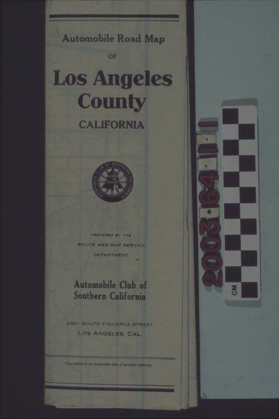
"Automobile Road Map of Los Angeles County, California," prepared by the Route and Map Service Department of the Automobile Club of Southern California, 1930. The front panel has the title, club logo, department which prepared the map, the club name and address and copyright information. When completely open one side has the map showing the southern California area and including streets, rail lines, city and community names, rivers and other watercourses, hills and mountains, county borders, and other landmarks. The name and publisher of the map is printed at the bottom left and there is a legend square at the bottom right. On the back, the map index lists locations of cities; towns; post offices; stations; boulevards; roads; canyons; passes; grades; rivers; lakes; reservoirs; mountains; ranges; peaks; hills; buttes; camps; resorts; ranches; valleys; parks; clubs; oil fields; mines; schools; churches; missions; hospitals; and cemeteries. With light surface soiling, slight yellowing, and some corner stains, the overall condition is good.Lexicon
Search Terms
Two-dimensional, Maps, Automobile Club of Southern California, Roads--California, Southern, Tourist trade--California, Southern