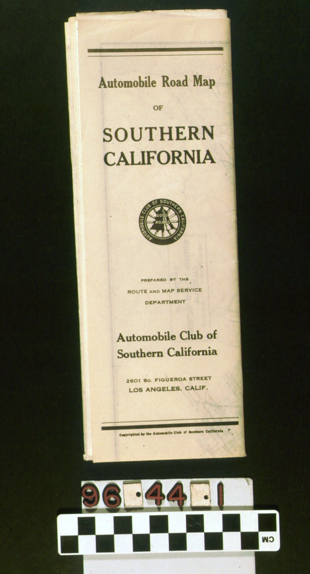
Automobile road map of Southern California: map shows state highways, main connecting roads, city locations, lakes, mountains and the primary city streets in Los Angeles and San Diego. White paper with black ink. Given to members by the map service department of the Automobile Club of Southern California. Inside there is a square at bottom left featuring the title and publisher of the map. At the left edge of the map are three large circles containing enlarged sections of Los Angeles Harbor, Santa Barbara, and downtown Los Angeles showing the location of the Automobile Club of Southern California. Map is slightly yellowed where folded paper was exposed to light. Paper is strong physical condition and the overall appearance when unfolded is good. Automobile Club of Southern California.
Lexicon
Search Terms
Documentary Artifact, Maps, Automobile Club of Southern California, Roads--California, Southern, Tourist trade--California, Southern