Name/Title
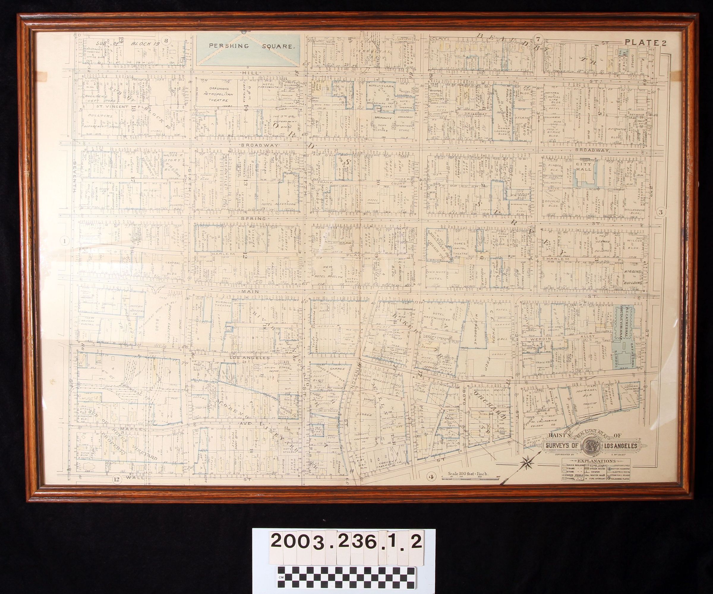
BAIST'S REAL ESTATE ATLAS: SURVEYS OF LOS ANGELES, PLATE TWOEntry/Object ID
2003.236.1.2Description
BAIST'S REAL ESTATE ATLAS: SURVEYS OF LOS ANGELES, PLATE TWO
Color: Black; Blue; Yellow; White
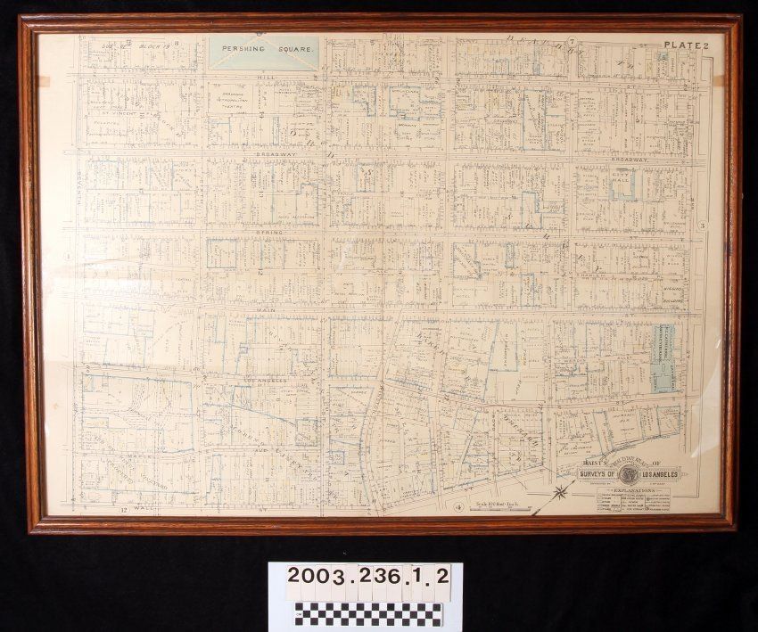
A framed map being Plate Two of Baist's Real Estate Atlas of Surveys of Los Angeles, by G. William Baist, ca. 1920. The item, which is a dark brown wooden frame, professionally done in June 1977, shows the area of downtown Los Angeles from 2nd Street on the north to 7th Street on the south and from just west of Hill Street on the west to Wall Street on the east. Information includes street layouts, including those thoroughfares with street rail lines on them; tract divisions with the name of the tract; lots with measurements and, in many cases, identifying the owner or tenant; and, on the edges, numbers within circular borders denoting adjoining plates from the series. Blue lines mark tract boundaries and there is a legend, marked "EXPLANATIONS" at the bottom left that explains markings of building media types (wood, brick, etc.), types of buildings, water main and fire hydrant locations, sewer and section line placement and others. The name of the atlas is next to the legend and there is also a scale of 100 feet per inch at this section. A compass is at the upper left and the plate number is at the top right. Among locations of note are the old City Hall; St. Vibiana's Cathedral; Grand Central Public Market; the eastern half of Pershing Square; and, on Spring, between 2nd and 3rd, the Workman Block. With acid burns and adhesive at the top corners; yellowing of the paper; and some tears on the back of the frame, the overall condition is good.Lexicon
Search Terms
Three-dimensional, Maps, Downtown business districts--Los Angeles (Calif.), Downtowns--Los Angeles (Calif.)