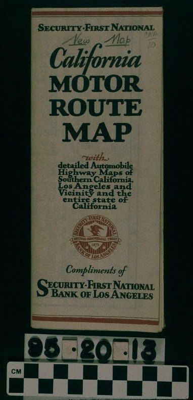
Map: 1929 fold-out map. Inside has two maps - one shows city streets in the City of Los Angeles and surrounding cities with highways and major roads in red and the rest in black ink. The other map shows highways and major roads in the State of California (also in red and black). Each map has an index. Reverse side maps out the Southern California automobile highways in red over a topographical map of Los Angeles County in black ink. Map was a free give-away by the Security-First National Bank of Los Angeles. Some pencil marks. Overall condition is good.
Lexicon
Search Terms
Documentary Artifact, Maps, Banks and banking--Los Angeles (Calif.)