Color: Black; Blue; Red; Yellow
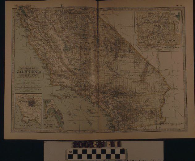
A color map of southern California from the "Century Atlas," published by he Century Co., 1897. The northernmost point is San Francisco, and south is the border with Mexico. At the west are portions of the Nevada and Arizona borders. To the east are a portion of the Pacific Ocean and the Santa Barbara and Channel Islands. Major cities on the mainland are clearly marked with large black printing, while smaller cities and towns are also marked along with faults, mountain ranges, major roads, and bodies of water. At the top right of the map is a detail of Yosemite National Park. At the bottom right are details of Los Angeles and San Diego. Above these is a legend. On the back top corners is "No. 57 / CALIFORNIA / SOUTHERN PART." The artifact is in good condition with only some discoloration around the edges of the paper and a fold at the center.
Lexicon
Search Terms
Three-dimensional, Maps, Century Co., Maps--California, Southern, Cities and towns--California, Southern