Name/Title
CITY OF INDUSTRY STREET MAPEntry/Object ID
2003.12.1.1Description
Color: Black; Red; White
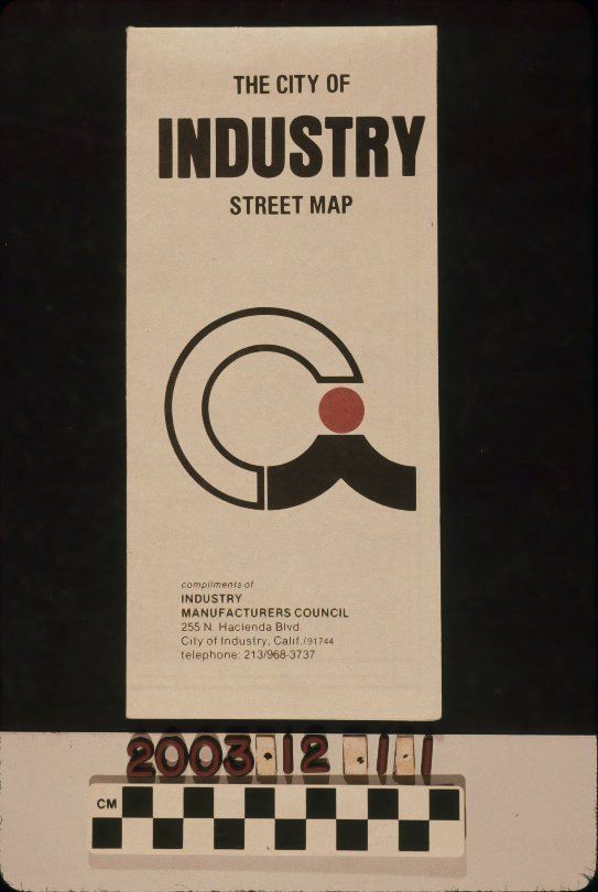
A street map of the City of Industry, 1982. The name of the city is at the top of the front, while at the center is its black, red, and white logo with the initials "C. I." The name and address of the Industry Manufacturers Council, that distributed the maps, is at the bottom. On the back are a listing of city services. The map unfolds up where, on the top panel, is an introduction to the city and on the bottom panel are statistics that detail the city's growth through types of manufacturing firms and total number of firms through 1980. When completely unfolded the artifact has, on one side, a street index. The map itself is on the opposite side. City of Industry is at the center with Industry Hills just to the north; both areas are highlighted in pink. Surrounding freeways are denoted in red. The furthest geographical points are, from north to west clockwise, Covina, Diamond Bar, Whittier, and South El Monte. The legend is at the bottom right corner. In good condition, the object has some creasing, dented corners, and light surface soiling.Lexicon
Search Terms
Three-dimensional, Maps, Industry Manufacturers Council, Maps--City of Industry (Calif.), Streets--City of Industry (Calif.), Cities and towns--San Gabriel Valley (Calif.)