Name/Title
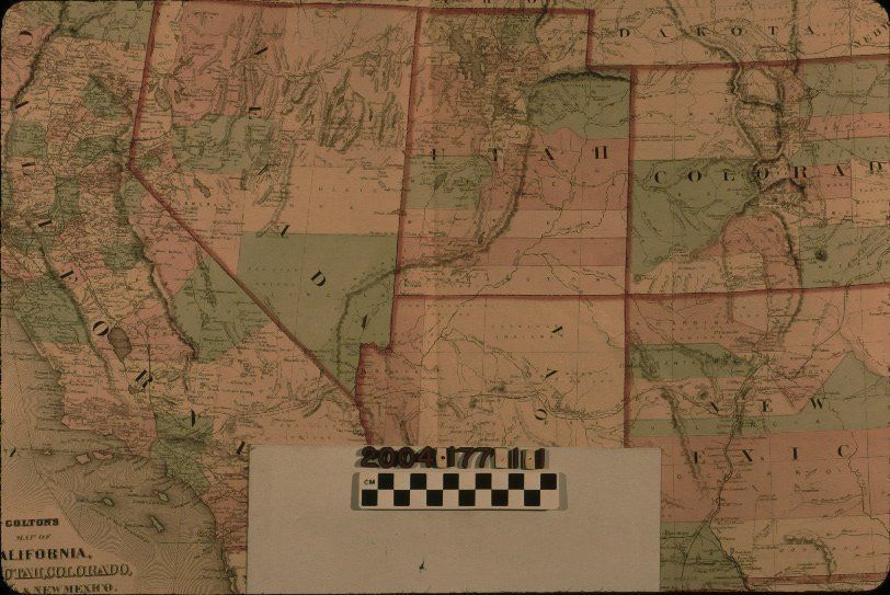
"COLTON'S MAP OF CALIFORNIA, NEVADA, UTAH, COLORADO, ARIZONA & NEW MEXICO"Entry/Object ID
2004.177.1.1Description
"COLTON'S MAP OF CALIFORNIA, NEVADA, UTAH, COLORADO, ARIZONA & NEW MEXICO"
Color: Black; Green; Red; White
"Colton's Map of California, Nevada, Utah, Colorado, Arizona & New Mexico State of California," published by G. W. and C. B. Colton, New York, 1868. The item has a stylized border within which is the map of the two states and four territories mentioned in the title. State borders are in black dotted lines with thick red lines over the top of the other. Counties are colored in green, red, and white, as are the offshore California islands. Typical features such as city and community names, mountains, bodies of water and water courses, road and rail lines, geographic locations for Indian tribes, international boundary lines, with treaty dates, between the United States and Mexico, and many other features are noted. At the bottom left is the title, name of the publishers, and a scale of statute miles. With adhesive on the top center of the front and along the edges of the back, brittleness of paper, especially along the edges, light creases, light soiling, browning along the edges, an original center fold, some foxing, particularly at the top right of the reverse, losses along the edges, light stains throughout, and tears at the edges, the condition is fair.Lexicon
Search Terms
Two-dimensional, Maps, West (U. S.)--Description and travel