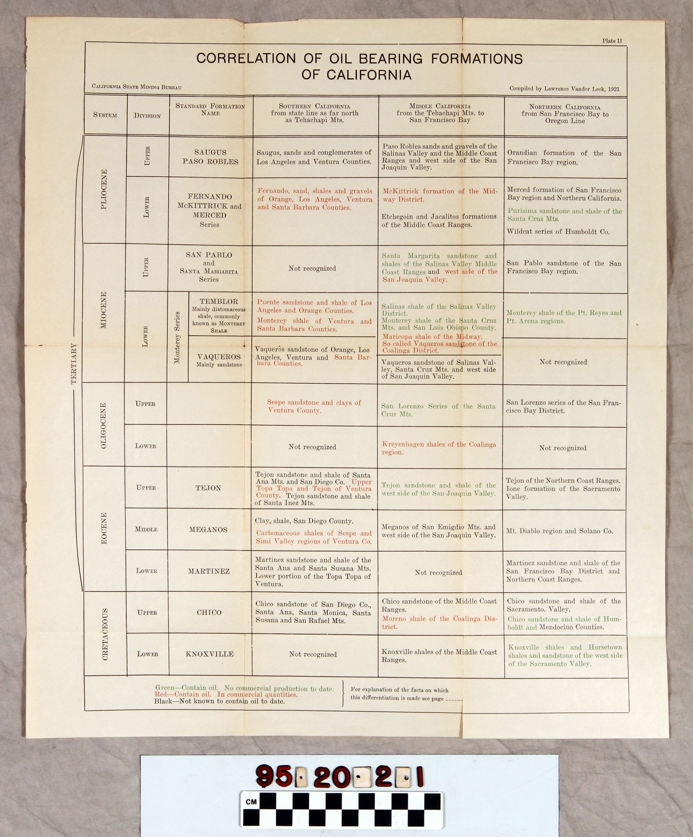
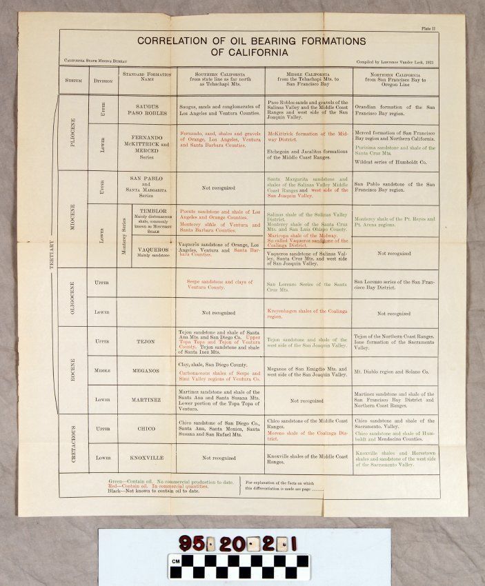
CORRELATION OF OIL BEARING FORMATIONS OF CALIFORNIA
Entry/Object ID
95.20.2.1
Description
CORRELATION OF OIL BEARING FORMATIONS OF CALIFORNIA
Color: White
A chart showing the correlation of oil bearing formations of California, issued by the California State Mining Bureau and compiled by Lawrence Vander Leck, 1921. The item has the title at the top with columns labeled "SYSTEM"; "DIVISION"; "STANDARD FORMATION NAME"; "SOUTHERN CALIFORNIA from state line as far north as Tehachapi Bay"; and "NORTHERN CALIFORNIA from San Francisco Bay to Oregon Line." The formation is organized by prehistoric period, such as Pliocene or Cretaceous with their upper and lower divisions and gives the type of material (shale, sandstone, sands and gravels found for each geographical area. Those areas in red indicate the presence of oil, but not for commercial applications to date; and in black signifying areas without discovered oil. The chart was kept as plate II in a copy of Petroleum Resources of California, Bulletin 89 (Sacramento: State Mining Bureau), 1921, which is item .10 and with folds and slight discoloration is in good condition.
Lexicon
Search Terms
Two-dimensional, Charts, California State Mining Bureau, Oil fields--California, Petroleum--Prospecting--California, Petroleum industry and trade--California