Name/Title
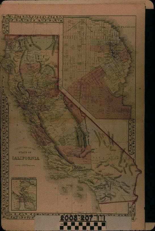
"COUNTY MAP OF THE STATE OF CALIFORNIA," 1870Entry/Object ID
2003.207.1.1Description
Color: Black; Blue; Green; Red; White
"County Map of the State of California," published by S. Augustus Mitchell, Jr., 1870. The item is a colored representation of the state with the counties delineated by dotted lines and the colors of blue, green, red, white, and yellow and state boundaries in a dark red or magenta color. Notable features on the map are cities and towns, other place names, mountain ranges, lakes, rivers, railroad lines, islands, and some roads, particularly in the Los Angeles and southern California region. At the upper right is a detailed map of San Francisco and, at the lower left, is a section showing the San Francisco Bay area. The title is above the latter along with a scale of miles. Points of latitude and longitude are at the edges and there is a leaf-and-vine border. On the back is a flap that is where the item was folded and secured to an atlas or some other housing. With a few creases, some soiling on the back, browning, small areas of foxing, a few stains, and small tears at the left and right edges, the overall condition is good.Lexicon
Search Terms
Two-dimensional, Maps, California, Counties--California