Name/Title
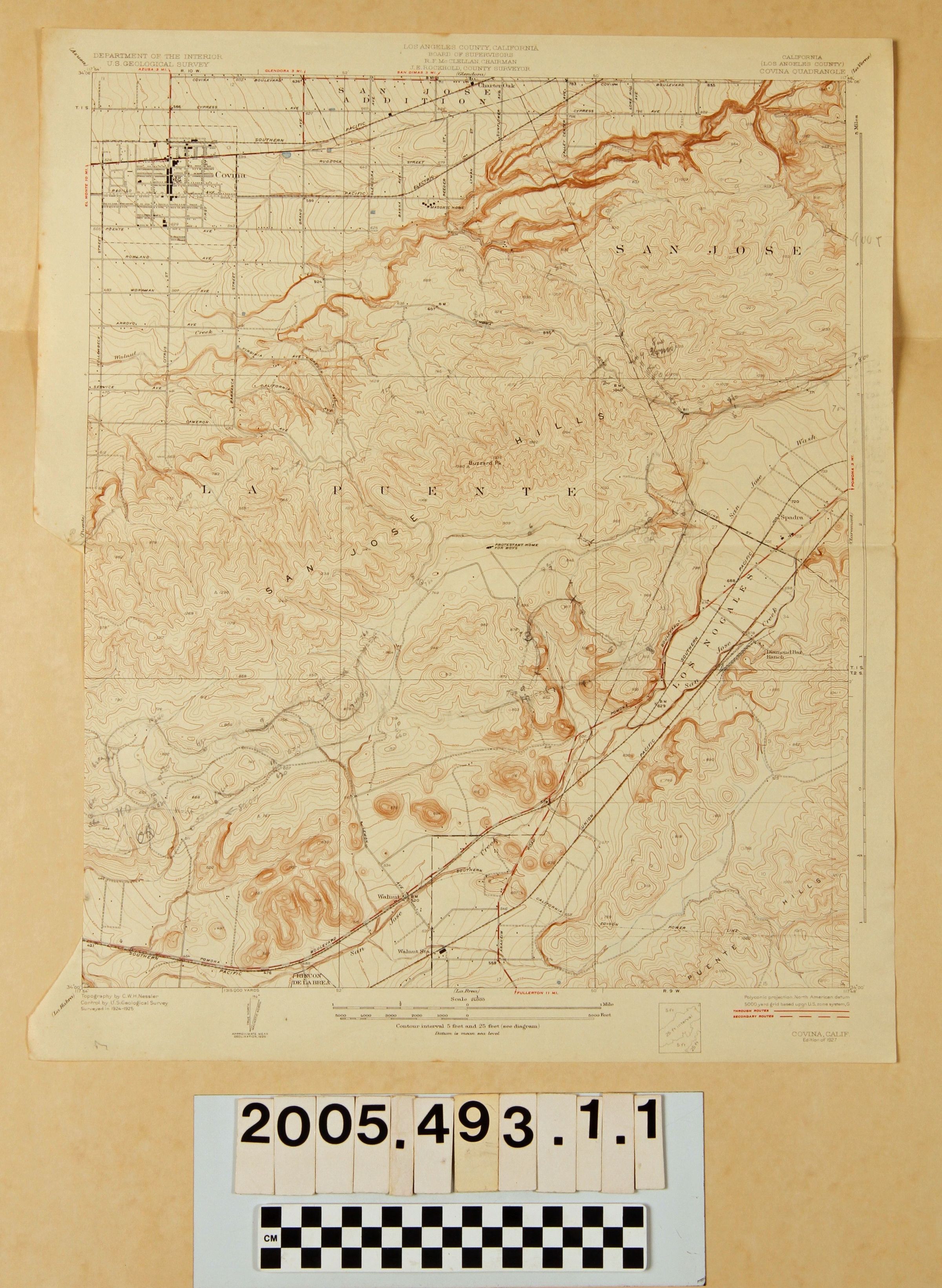
"COVINA QUADRANGLE"Entry/Object ID
2005.493.1.1Description
MAPS, "COVINA QUADRANGLE," U. S. Geological Survey, Department of the Interior, Surveyed 1924-25, Edition of 1927. The map shows an area from Covina at the upper left to the San Jose Hills at the upper right to the area around Walnut Station at the bottom, encompassing much of the eastern section of Rancho La Puente, the Rancho Los Nogales and the western section of Rancho San Jose. Topographical features, including elevations and changes in topography, as well as roads and highways, railroad lines, creeks and washes, ranch boundaries, city locations and other places and other features are noted. There are pencil markings in hill locations. A section was neatly trimmed at the bottom of the left side, but did not appear to remove any of the map. Aside from edge wear, browning and some creases, the condition is fair.Lexicon
Search Terms
United States. Department of the Interior. United States Geological Survey, Covina (Calif.)--Description and travel, Roads--San Gabriel River Valley (Calif.), San Gabriel River Valley (Calif.)--Description and travel