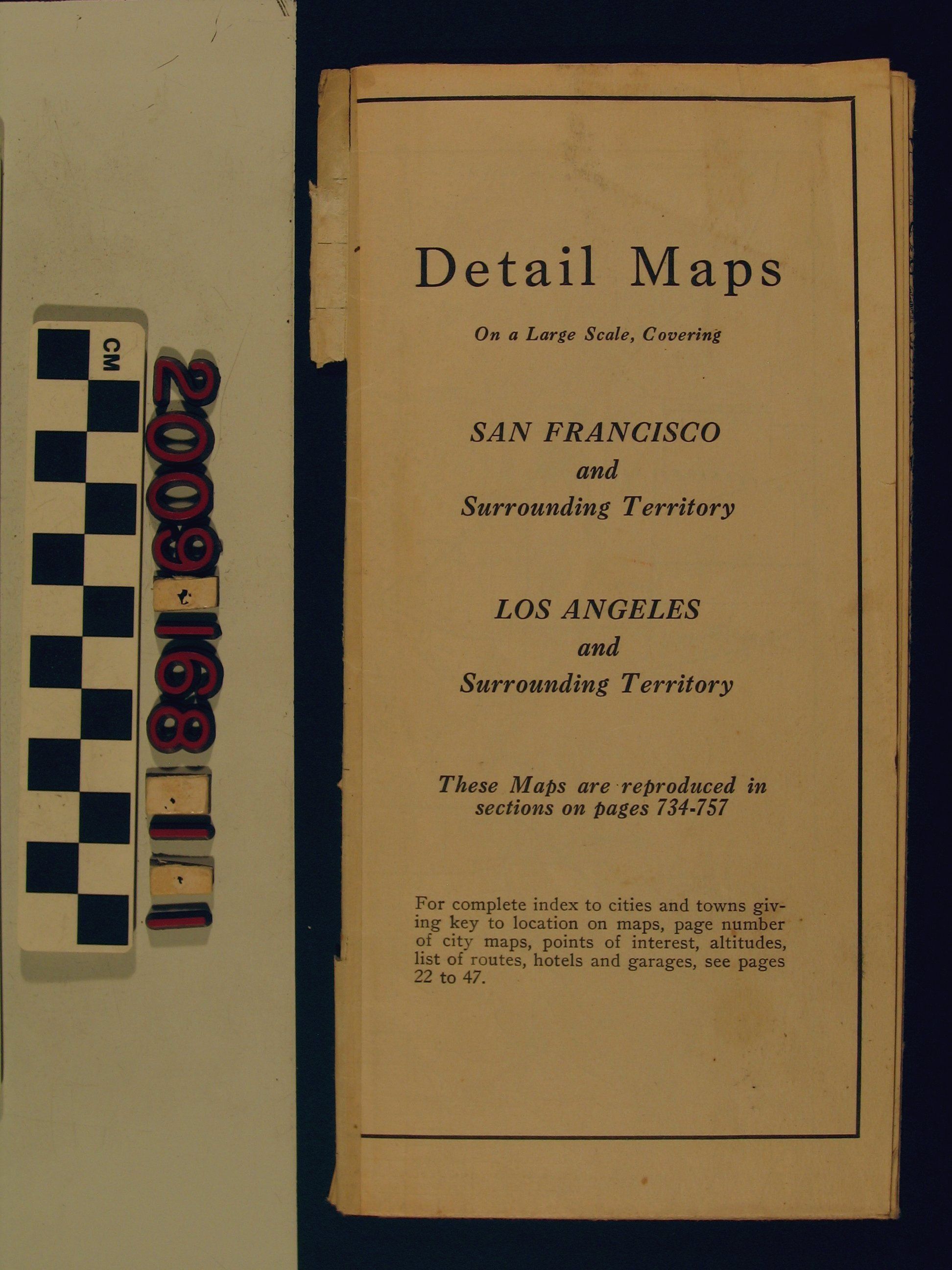
"Detail Maps On a Large Scale, Covering San Francisco and Surrounding Territory [and] Los Angeles and Surrounding Territory"
Entry/Object ID
2009.168.1.1
Description
"Detail Maps On a Large Scale, Covering San Francisco and Surrounding Territory [and] Los Angeles and Surrounding Territory," The Automobile Blue Book Publishing Company,1917. One one side of the fold-out item is the map of the Los Angeles region from San Fernando on the north to San Juan Capistrano and Temecula on the south and from the Pacific Ocean on the west to Hemet, Beaumont and Big Bear Lake on the east. The San Francisco area runs from Watsonville and Fresno on the south to Clear Lake, Biggs and Lake Tahoe on the north and from the Pacific Ocean on the west to portions of Nevada on the east. Major roadways, railroad lines, town and city locations, county lines, and other notable points are depicted. There is also a title panel and one about the club. With some stains, soiling, small tears and creases, the conditon is fair.
Lexicon
Search Terms
California. Department of Public Health. Bureau of Child Hygiene, United States. Department of Labor. Children's Bureau.