Name/Title
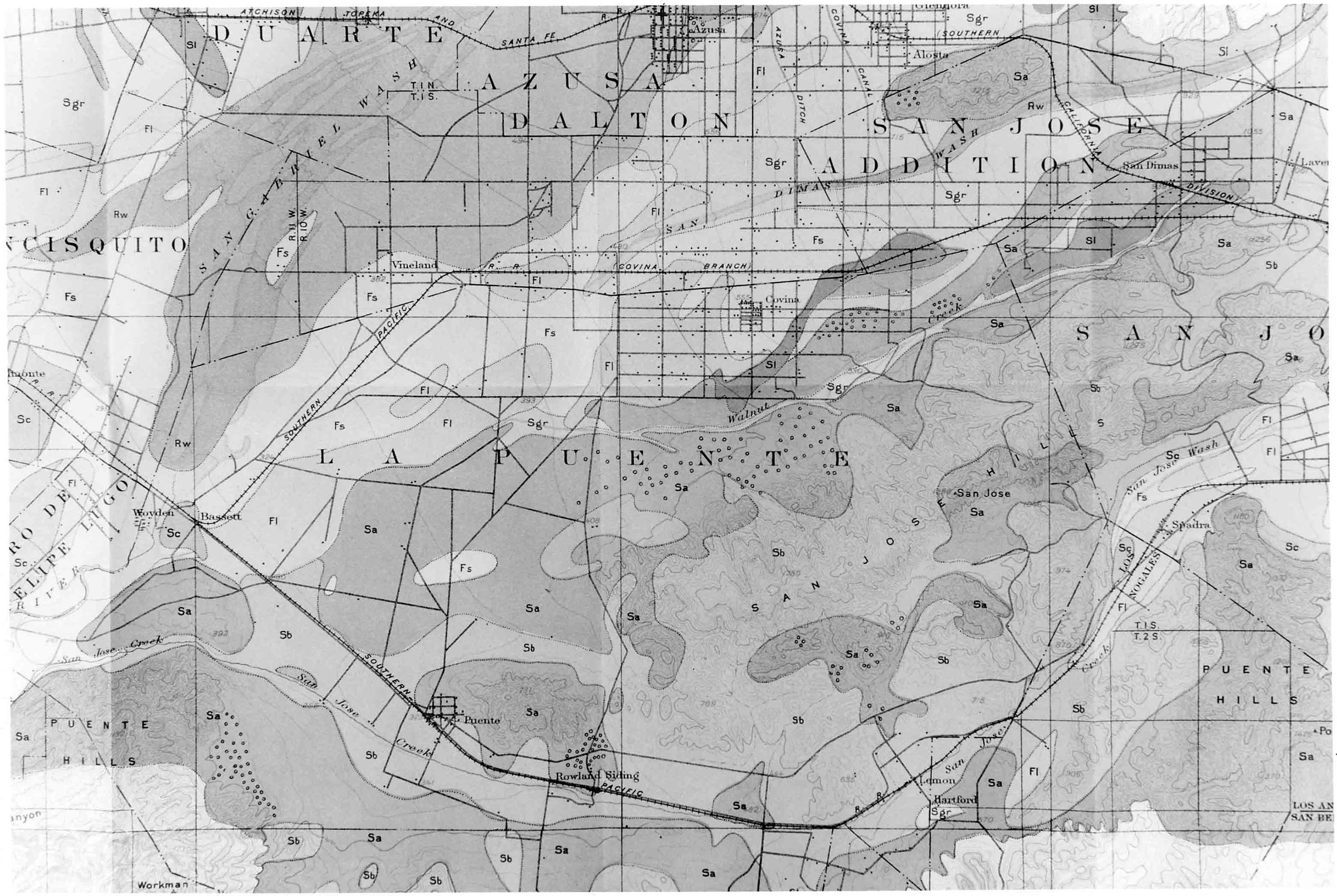
DETAIL OF EASTERN SAN GABRIEL VALLEY ON SAN GABRIEL VALLEY SOIL MAP, 1901Entry/Object ID
2001.178.1.5Description
DETAIL OF EASTERN SAN GABRIEL VALLEY ON SAN GABRIEL VALLEY SOIL MAP, 1901
Color: Black; White
A photograph of a detail of a soil map of the San Gabriel Valley, 1901. The focus is on the eastern area of the valley, including the area between the San Gabriel River on the west and the area leading toward Pomona on the east. Included is the entirety of the Rancho La Puente, with portions of San Jose, Azusa, and San Jose also prominent. Towns and settlements, including Puente, Lemon, Spadra, Covina, Vineland, Alosta, San Dimas, and Azusa are also identified. Railroad lines, roads, and rancho boundaries are man-made features and hills, rivers, and creeks are natural features denoted on the map. Place names for hills, canyons, water courses, ranchos, and towns and settlements are provided, as are elevations, and abbreviations for soil types. Small dots seem to indicate home sites. One of these is the Workman Homestead, indicated by a line extending down from Valley Boulevard and the Southern Pacific Railroad line just to the left of the Puente townsite. As a newly produced image, the artifact is in mint condition.
Number-Units: 1Lexicon
Search Terms
Two-dimensional, Photographs, San Gabriel River Valley (Calif.), Ranches--Los Angeles County (Calif.)