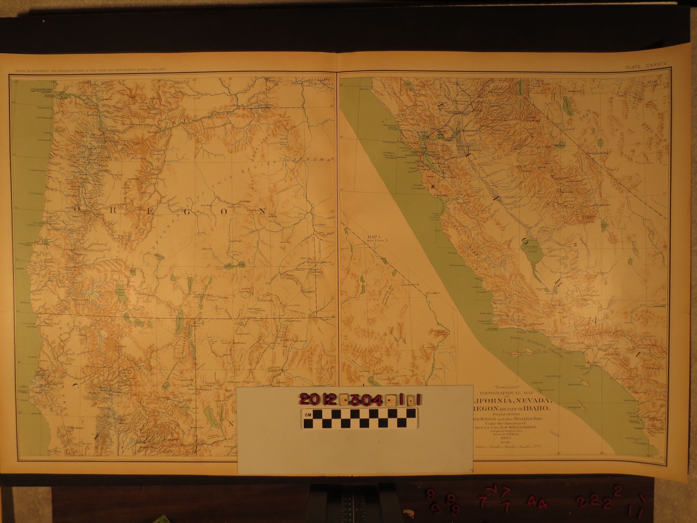
"Essayons Topographical Map of California, Nevada, Oregon and Part of Idaho"
Entry/Object ID
2012.304.1.1
Description
"Essayons Topographical Map of California, Nevada, Oregon and Part of Idaho," 1867. The item comes in three sections. The first is from Mendocino, California and Fort Churchill, Nevada north to part of southern Washington. The second is California and part of Nevaa south from that in section 1, including the Los Angeles region. The third is southeastern California to the Arizona border. The data came from surveys conducted by the U.S. Army Corps of Engineers. With edge browning, a slightly torn upper left corner and tears at the bottom edge near the center fold, the condition is good.