Name/Title
FRAMED REPRODUCTION OF "LOS ANGELES CITY MAP NO. 1," 1849Entry/Object ID
2004.257.1.1Description
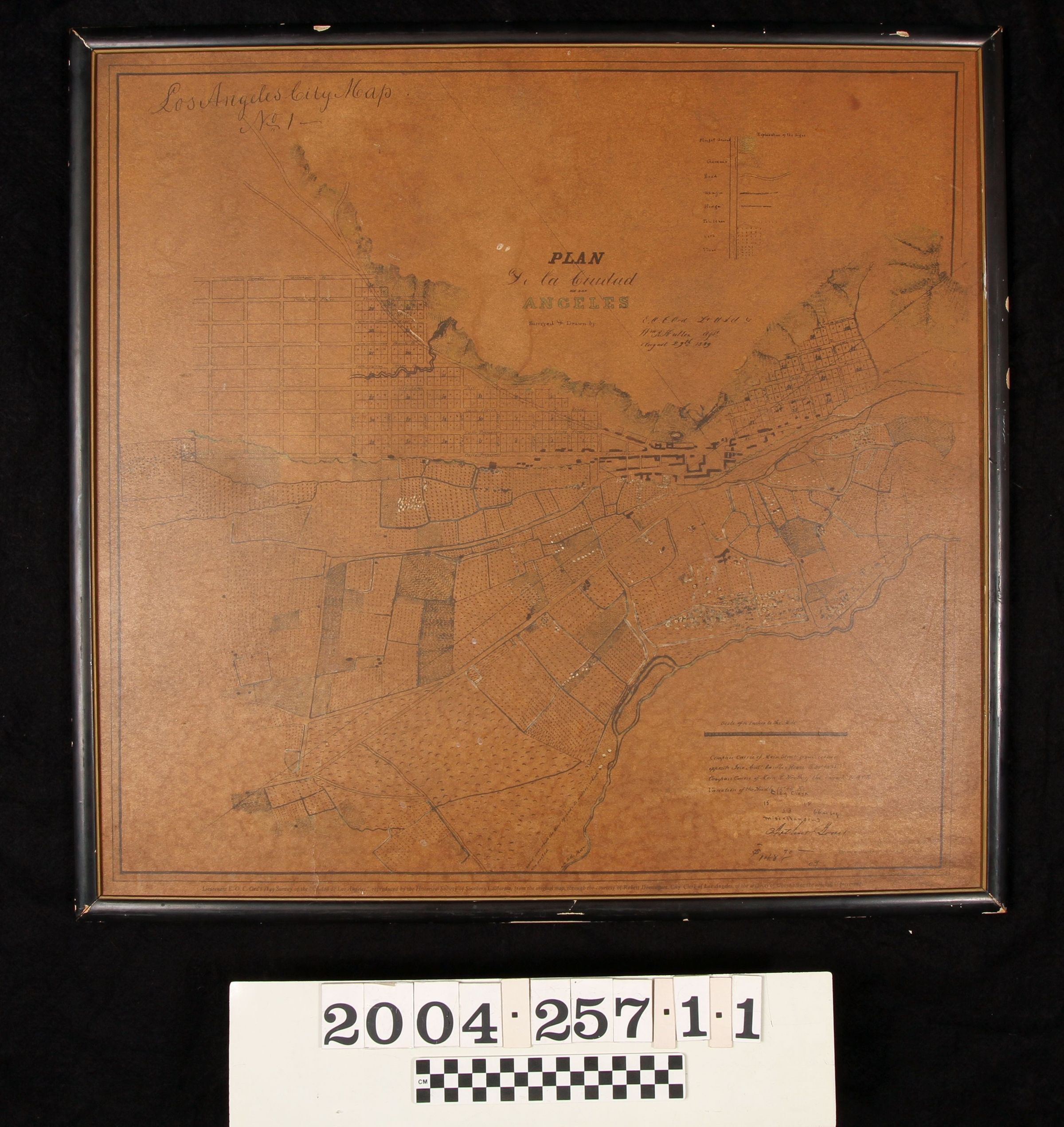
FRAMED REPRODUCTION OF "LOS ANGELES CITY MAP NO. 1," 1849
Color: Black; White
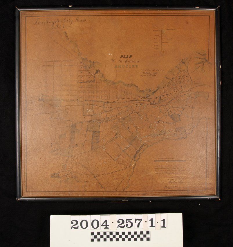
A reproduction of "Los Angeles City Map No. 1," orignally completed August 29, 1849 by Edward O. C. Ord and William R. Hutton with later emendations by Lothar Seebold and replicated by the Historical Society of Southern California. The item is on a piece of board and housed in a simple black wood frame. The map shows the area from north of the old pueblo toward Elysian Park at the right to the sections near 12th Street on the left and from the roads leading to the west near Figueroa and Bunker Hill at the top to the Los Angeles River on the bottom. The old pueblo with Ord and Hutton's rigid grid patterns to the north and south and the farmlands and vineyards between the town and the river are notable features. At the upper left is the official title, with the historic title of "PLAN / de la Ciudad / de los / ANGELES" at the upper center. To the right of this last are the names of Ord and Hutton and the date. To the upper right is an "Explanation of the Signs," which was added by Seebold, denoting ploughed ground, gardens, hedges, corn, vines, roads, and other symbols which the 1870s Los Angeles County surveyor seems to have added to the map. At the lower right is a scale of inches to the mile and a note about the compass course, which was set near the Old Plaza Church. Other remarks by a city clerk are at this location. With frame abrasions, adhesives on the back, chips on the frame, soiling on the map and the reverse, darkening of the map, fading of the image, flaking of paper on the back, losses to the backing paper, stains, and tears to the backing paper, the condition is fair.Lexicon
Search Terms
Two-dimensional, Maps, Historical Society of Southern California, Surveys--Los Angeles (Calif.)