Name/Title
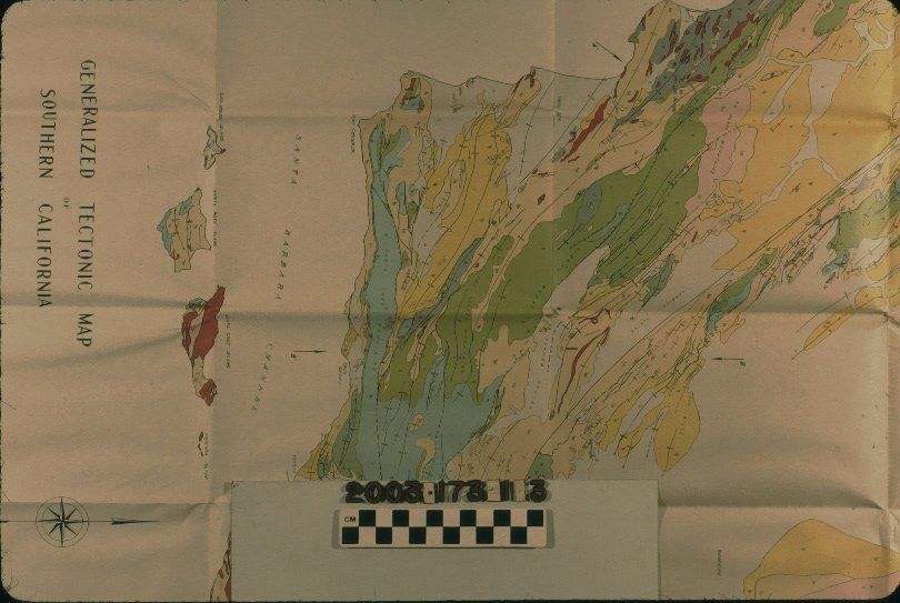
GENERALIZED TECTONIC MAP OF SOUTHERN CALIFORNIAEntry/Object ID
2003.173.1.3Description
GENERALIZED TECTONIC MAP OF SOUTHERN CALIFORNIA
Color: Black; Red; White; Blue; Yellow; Pink; Green; Gray; Brown
"Generalized Tectonic Map of Southern California," compiled by Ralph D. Reed and J. S. Hollister, December 1936. The item, which was included in the book "Strucutral Evolution of Southern California," by Reed and Hollister, and which is item .1, shows coastal California from north of Coalinga to San Juan Capistrano and extending inland to the Sierra Nevada Mountains. Also included are the Channel Islands. Four stratigraphic sections and a color-coded legend are at the top left, corresponding to areas on the map. The depicted areas refer to the various geologic ages of the topography and also shown are faults and axes. The title, a scale, the compiler's names and other information is at the lower left. The name of the artist is at the lower right. With many folds, dented corners, slight creasing, and minor yellowing, the overall condition is good.Lexicon
Search Terms
Two-dimensional, Maps, Petroleum industry--California, Southern, Geology, Strucutral--California, Southern