Name/Title
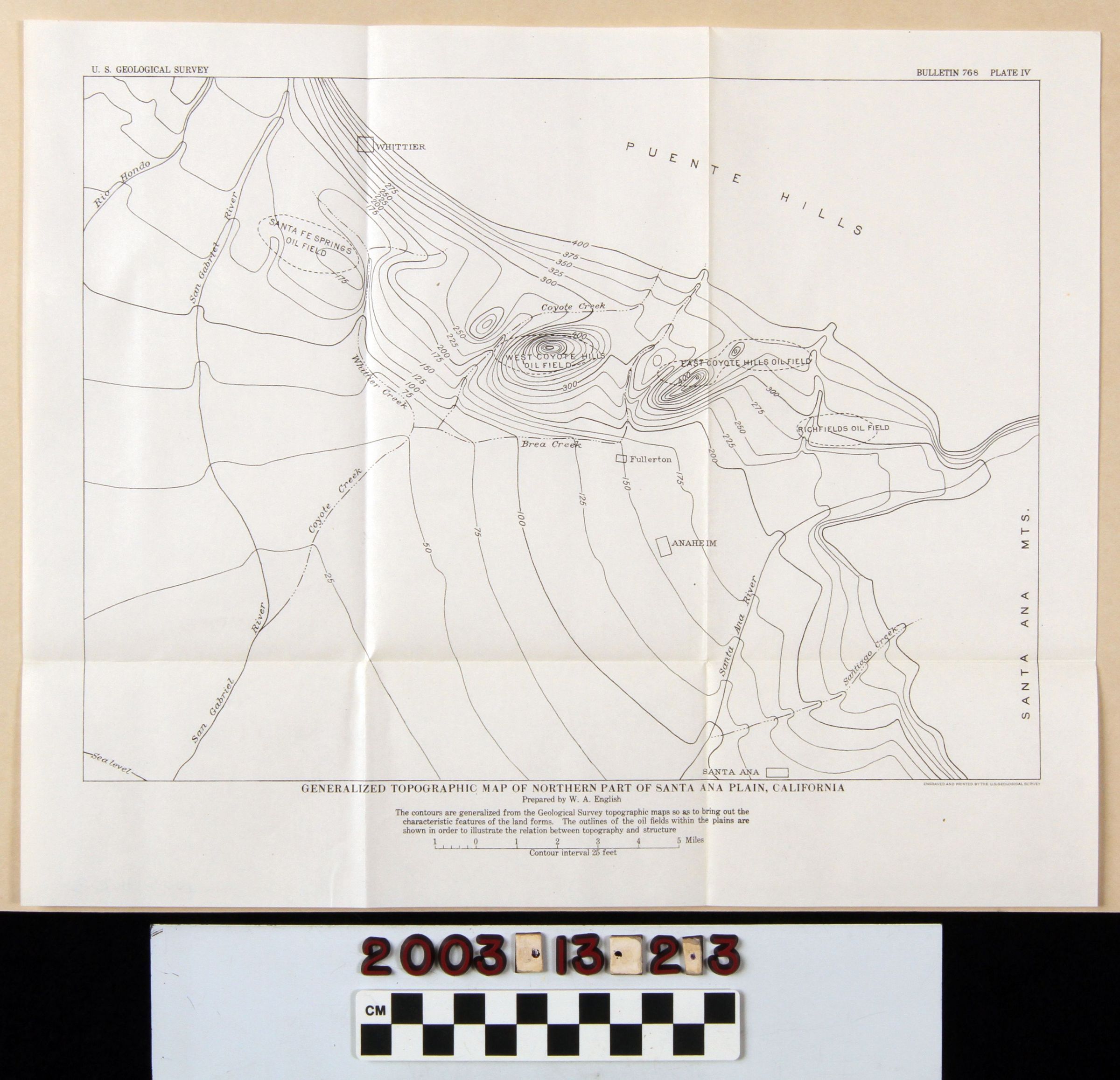
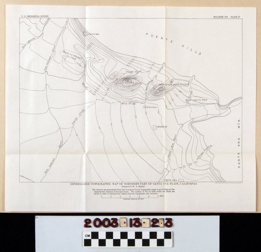
GENERALIZED TOPOGRAPHIC MAP OF NORTHERN PART OF SANTA ANA PLAIN, CALIFORNIAEntry/Object ID
2003.13.2.3Description
GENERALIZED TOPOGRAPHIC MAP OF NORTHERN PART OF SANTA ANA PLAIN, CALIFORNIA
Color: Black; White
A map called "Generalized Topographic Map of Northern Part of Santa Ana Plain, California," plate 4 from Bulletin 768 issued by the U. S. Geological Service, 1926. The map covers an area from the San Gabriel River to the Santa Ana Mountains, east to west, and from the Puente Hills to Santa Ana, north to south. Principal features include the oil fields of Santa Fe Springs, West Coyote Hills, East Coyote Hills, and Richfields, showing elevations in feet above sea level. There are also notations of local cities, creeks, and rivers, and hills, but the focus is on the topography of the aforementioned oil fields. Other separate plates are items 2.1 through 2.2 and 2.4 through 2.9. Aside from the folds from when the item was stored in the pocket of the bulletin, there is little evidence of wear or damage, and the condition is good.Lexicon
Search Terms
Two-dimensional, Maps, U. S. Geological Survey, United States. Department of the Interior, Petroleum prospecting--California, Southern, Oil fields--California, Southern, Petroleum industry and trade--California, Southern, Petroleum mining--California, Southern