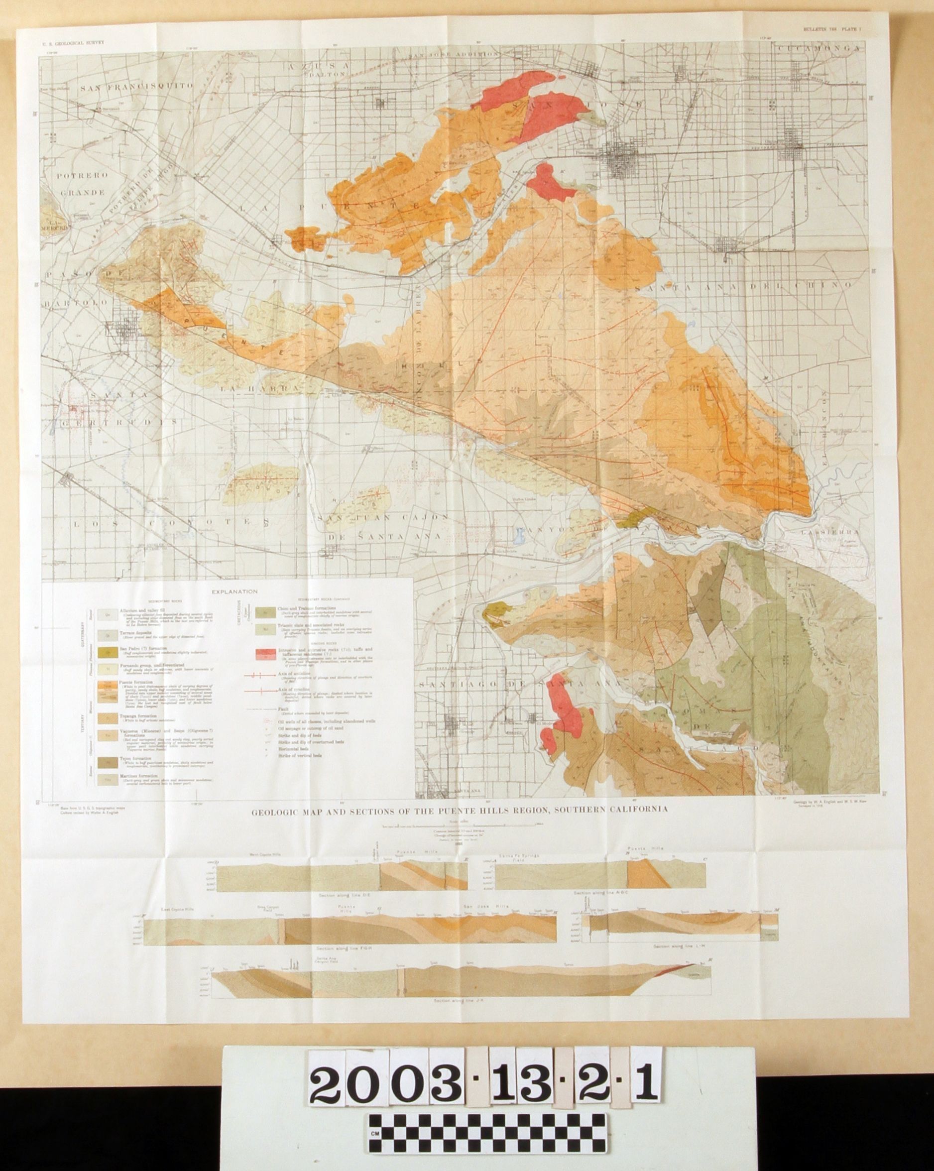
GEOLOGIC MAP AND SECTIONS OF THE PUENTE HILLS REGION, SOUTHERN CALIFORNIA
Entry/Object ID
2003.13.2.1
Description
GEOLOGIC MAP AND SECTIONS OF THE PUENTE HILLS REGION, SOUTHERN CALIFORNIA
Color: Green; Gold; White
A map called "Geology Map and Sections of the Puente Hills Region, Southern California," plate 1 from Bulletin 768 issued by the U. S. Geological Service, 1926. The map covers an area from El Monte on the northwest to Ontario on the northeast and from Norwalk on the southwest to the Santa Ana mountains, east of Orange on the southeast. Colored sections identify the types of sedimentary and ignaceous rocks; anticlines; synclines; faults; oil wells; seepages and outcrops of oil; strikes and dips of beds; and, at the bottom, section views of several areas within the region. Also delineated are historic rancho boundaries; city and community locations; roads; watercourses; and other natural features. The geological aspects are from a 1918 survey. At the lower left of the map area is a table of explanations for the various colored sections and symbols. Other separate plates are items 2.2 through 2.9. Aside from the folds from when the item was stored in the pocket of the bulletin, there is little evidence of wear or damage, and the condition is good.
Lexicon
Search Terms
Two-dimensional, Maps, U. S. Geological Survey, United States. Department of the Interior, Petroleum prospecting--California, Southern, Oil fields--California, Southern, Petroleum industry and trade--California, Southern, Petroleum mining--California, Southern