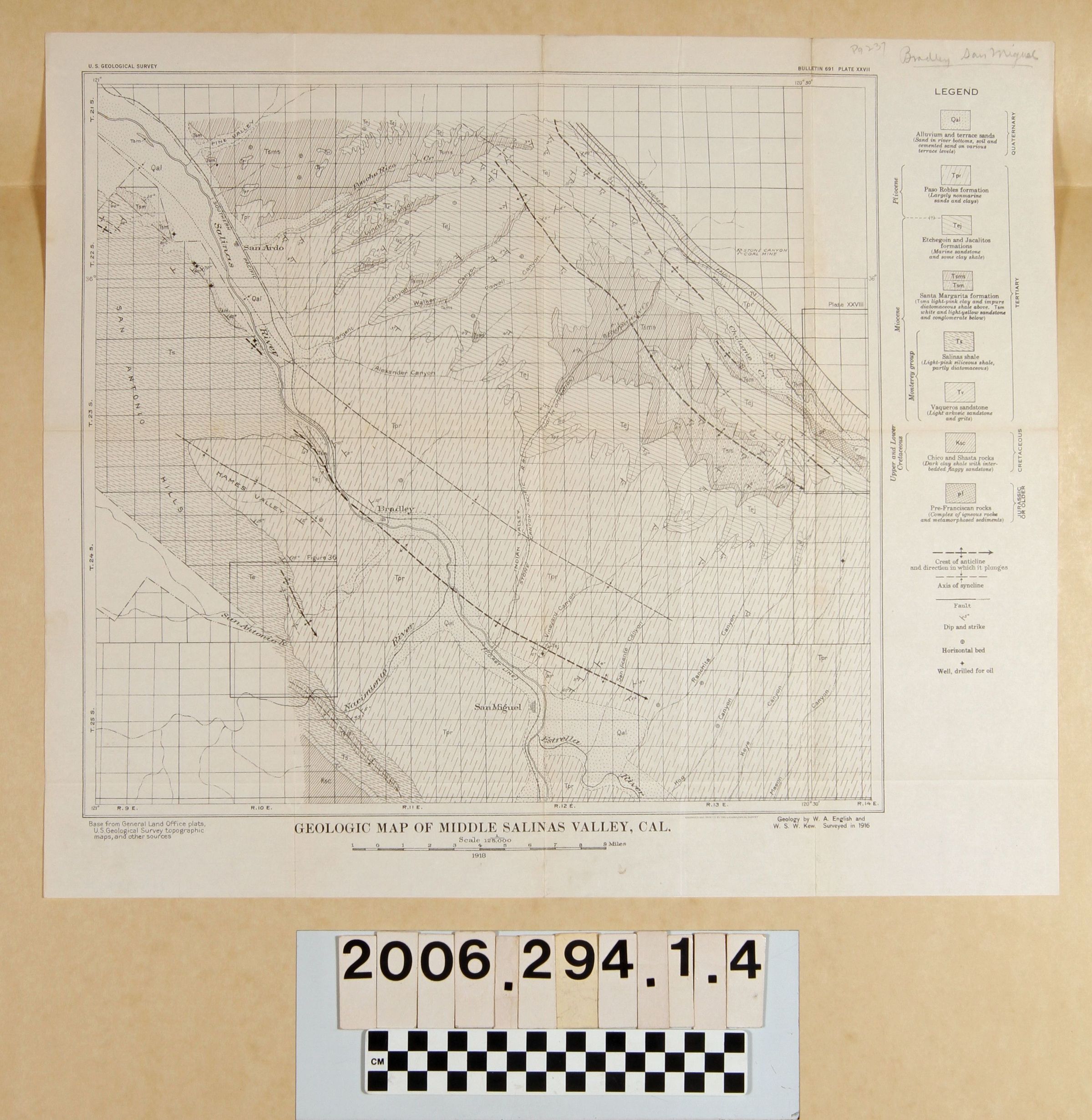
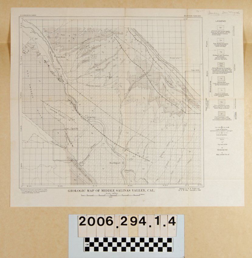
"Geologic Map of Middle Salinas Valley, Cal.," by W.A. English and W.S.W. Kew, plate XXVII, Bulletin 691, survey from 1916 and published in 1918. The area shown is from San Miguel on the south to Pine Valley on the north and the San Antonio Hills on the west to San Andreas Fault on the east. The legend has rock structure types and there are also notations for geologic formations and oil well sites. With original folds, creases, and some soiling, the condition is good.
Lexicon
Search Terms
U. S. Geological Survey, United States. Department of the Interior, Petroleum prospecting--California, Oil fields--California, Petroleum industry and trade--California, Petroleum mining--California