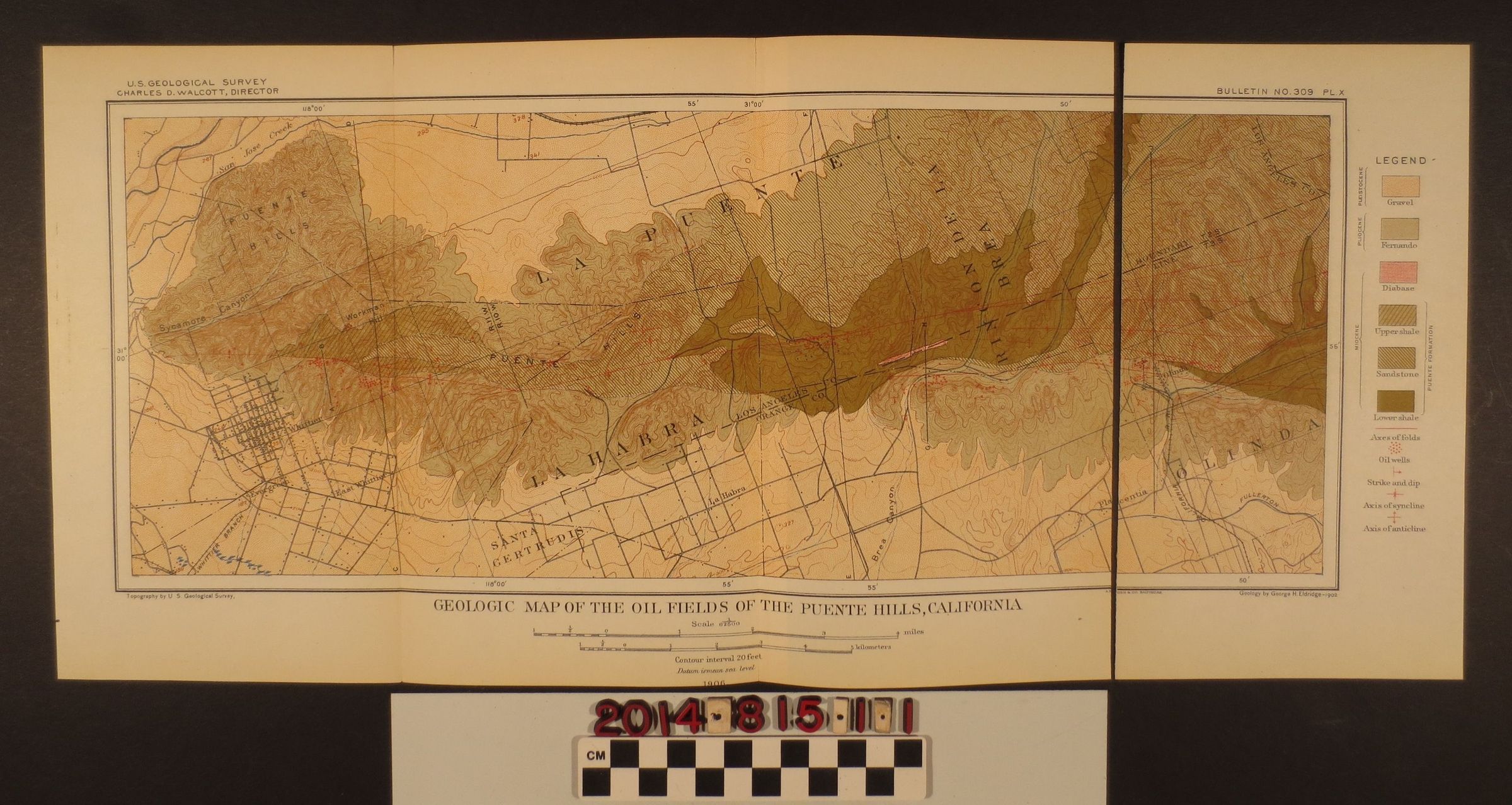
Geologic Map of the Oil Fields of the Puente Hills
Entry/Object ID
2014.815.1.1
Description
Geologic Map of the Oil Fields of the Puente Hills, California, U.S. Geological Survey, Bulletin No. 309 Pl. X. A fold out map removed from a book depicting a map by George H. Eldridge, 1902. The colored map depicts La Puente, La Habra, Brea and Whittier. It also depicts the Los Angeles and Orange County border. The map is torn at the right fold, with a completely detached section.