Name/Title
GEOLOGICAL MAP, SAN DIEGO TO THE COLORADO RIVEREntry/Object ID
2005.4.1.1Description
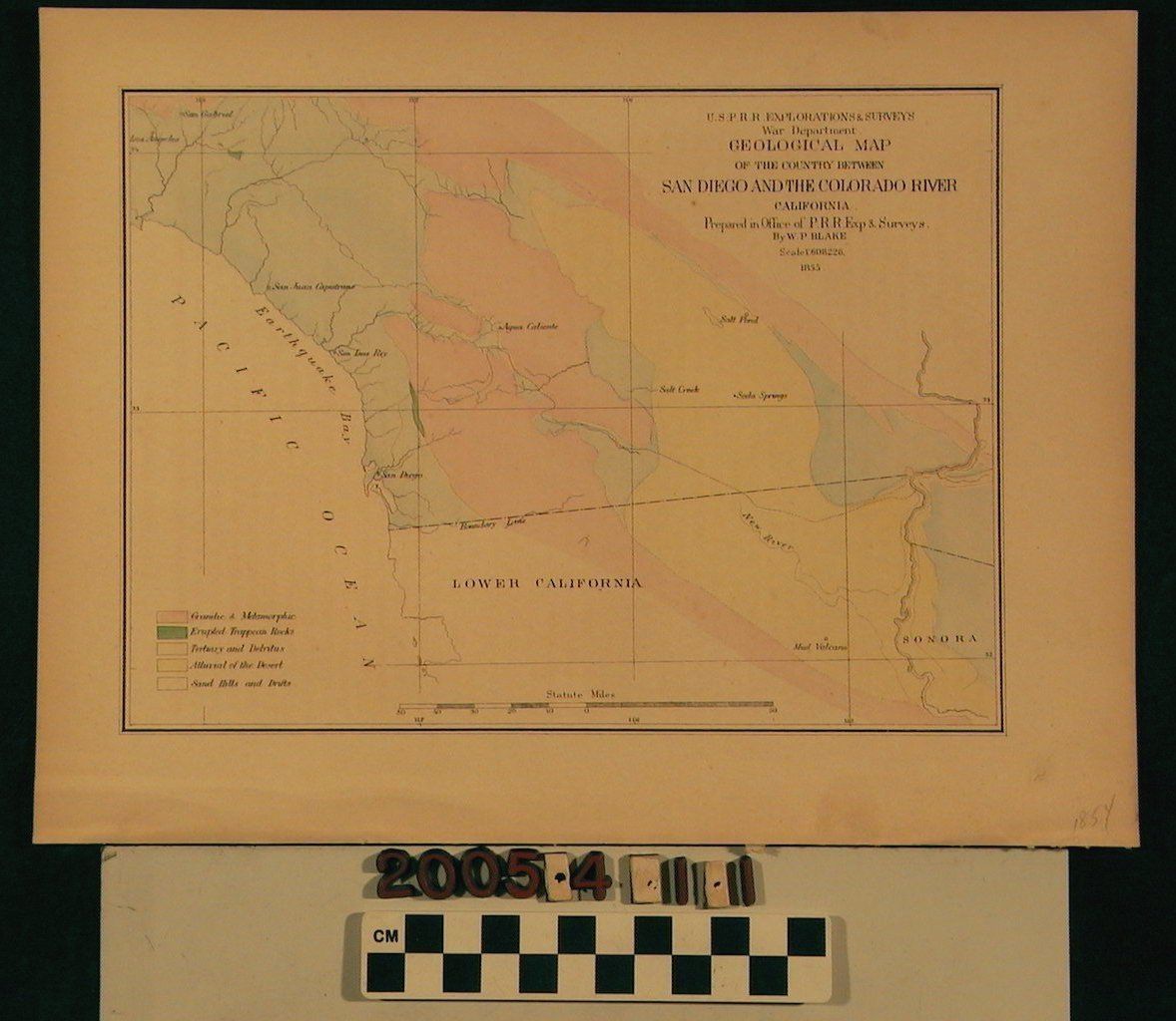
GEOLOGICAL MAP, SAN DIEGO TO THE COLORADO RIVER, 1855.
Color: Blue; Yellow; Red; Green
A geological map covering land between San Diego and the Colorado River. The map was prepared by the U.S.P.R.R. Explorations & Surveys War Department, W.P. Blake. It specifically shows portions of Los Angeles, San Gabriel, San Juan Capistrano, San Luis Rey, San Diego, Agua Caliente, Salt Creek, Soda Springs, Salt Pond, Mud Volcano, lower California and Sonora, Mexico. There is a color key which indicates the following, granitic & metamorphic, erupted trappean rocks, tertiary and detritus, alluvial of the desert, sand hills and drifts. The map has various minor damage such as discoloration, creasing and stains. It is in good condition.Lexicon
Search Terms
Geological surveys--California, Surveying--California