Name/Title
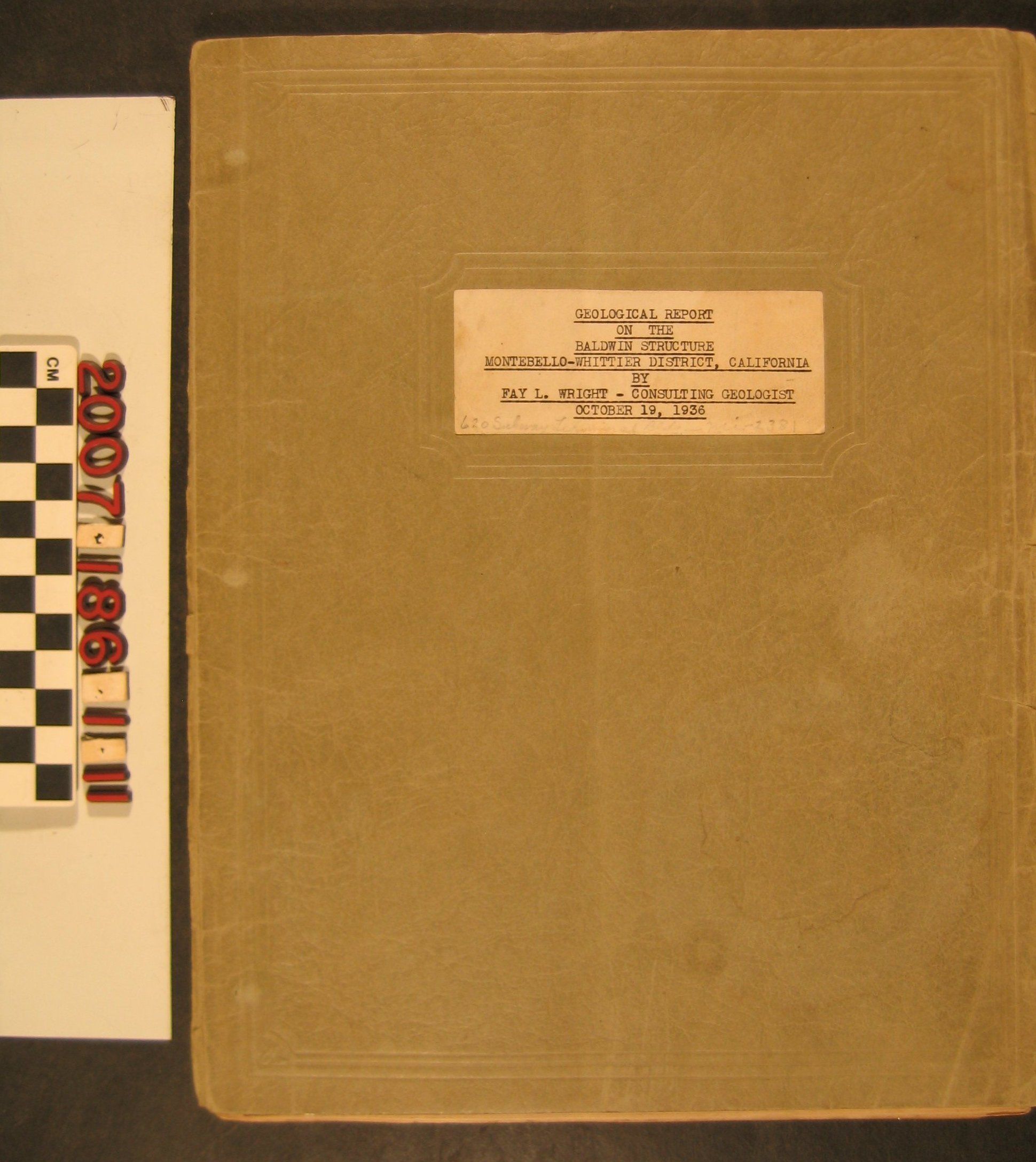
"Geological Report on the Baldwin Structure, Montebello-Whittier District, California"Entry/Object ID
2007.186.1.11Description
"Geological Report on the Baldwin Structure, Montebello-Whittier District, California," Fay L. Wright, 19 October 1936. The report to a Texas oil company includes a general statement and an analysis of the topography, stratigraphy, and structure of the area, which encompassed a section of the Puente Hills now within Hacienda Heights from Turnbull Canyon Road west and north, as well as a discussion of factors governing oil and gas accumulation and conclusions and recommendations. There are also four letters attesting to the likelihood of oil in the structure, transcripts of logs of six wells drilled in the area (an original of #4 is item .1 of this accession) and an aerial photograph map of the structure. A second map of the region listed in the index was not found. An item, "Profile of Vertical Magnetic Intensity, East Edge, Puente Hills on Baldwin Ranch," was tipped in to the document and is item .12. With edge tears, creases, and soiling to the wrappers; tape, creases, and soiling to the aerial map; and some edge wear to pages, the condition is fair.Lexicon
Search Terms
Danciger Oil and Refineries, Inc., Oil fields--California--Los Angeles County, Petroleum prospecting--California--Los Angeles County