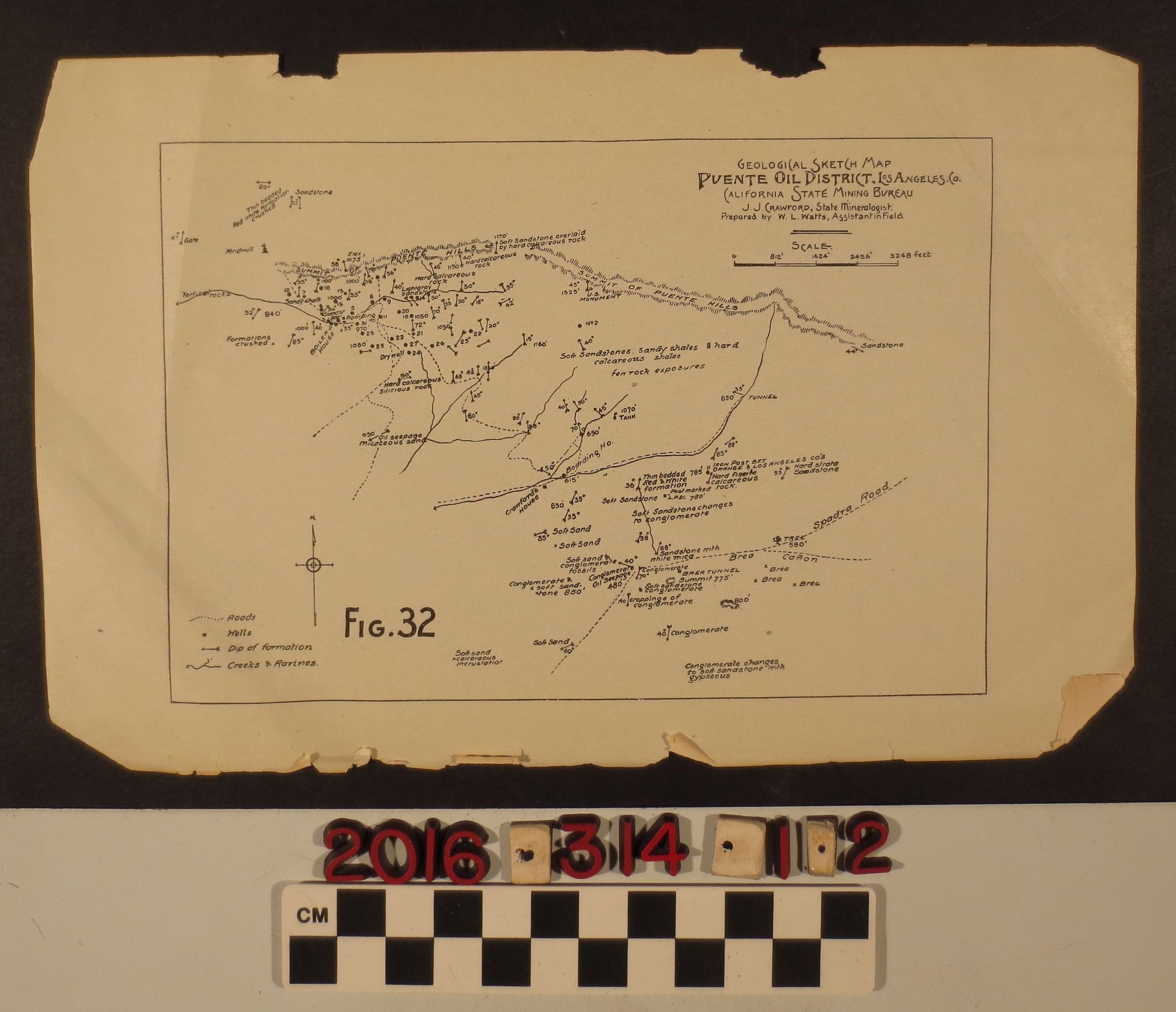
Geological sketch map of the Puente Oil District in Los Angeles
Entry/Object ID
2016.314.1.2
Description
Geological sketch map of the Puente Oil District in Los Angeles, by California State Mining Bureau, ca. 1910s. Found loose at the back of "Second Annual Report of the State Oil and Gas Supervisor of California," 1916-1917 Bulletin No. 82 (2016.314.1.1). Map includes roads, wells, dip of formation, creeks and ravines, rock formations. Overall the map is in fair condition, minor tears along the bottom edge.