Name/Title
"HIGHWAY MAP OF SOUTHERN CALIFORNIA" BY SHELL OIL COMPANYEntry/Object ID
2003.4.1.1Description
"HIGHWAY MAP OF SOUTHERN CALIFORNIA" BY SHELL OIL COMPANY
Color: Blue; Orange; White
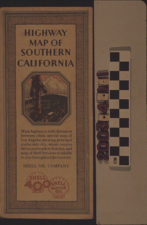
"Highway Map of Southern California," a road map issued by Shell Oil Company, 1929. The front cover has lined borders within which is the title, an image of a lake and mountain scene, a description of the map, the company name, and its logos. The back has a map of the United States and which states and areas in states in which Shell services were available. When unfolded, there is a four-panel map of southern California from San Simeon to the Mexican border on the coast and from near Mammoth Lakes to Yuma inland. Main routes are in orange letters and include then-existing highway numbers. Other routes are in blue, including thicker ones for paved roads, ones with alternating blue and white squares for improved roads, and thinner lines for other roads. Numbers along roadways are mileage indicators and a legend at the bottom left describes these markings. Community and city names with circles seem to indicate where Shell stations were to be found, including Puente. Locations in italics are for recreational spots. A compass with the Shell logo at the center is at the bottom right, the title of the map at the bottom left above the legend and the company logos at the top with statements about the quality of products. In good condition, the artifact has small corner dents, slight soiling, and a few small tears to the cover at the top of the front.Lexicon
LOC Thesaurus for Graphic Materials
Tourist tradeSearch Terms
Three-dimensional, Maps, Shell Oil Company, Oil industry--United States, Roads--California, Southern