Name/Title
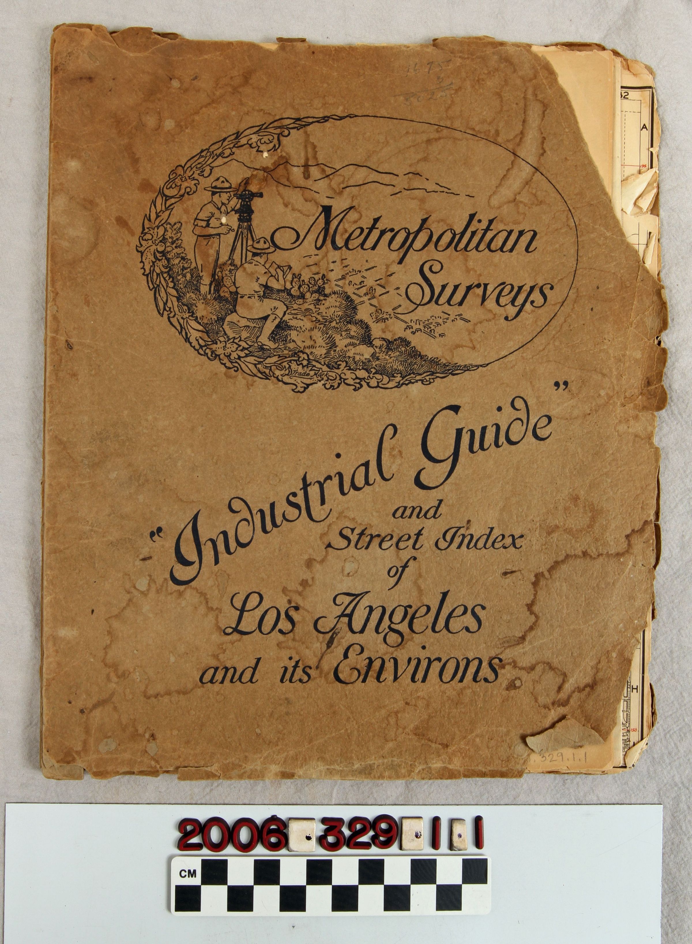
"Industrial Guide and Street Index of Los Angeles and Its Environs"Entry/Object ID
2006.329.1.1Description
"Industrial Guide and Street Index of Los Angeles and Its Environs," published by Metropolitan Surveys, Los Angeles, ca. 1930. The item has pull-out sectional maps of portions of the Los Angeles area ranging from east to west, starting with areas of the San Fernando Valley and then moving southward to the Long Beach area. The territory covered goes west to the Ventura County line and Pacific Ocean and east to South Pasadena and Alhambra and Downey. Map pages provide such information as city boundaries, block numbers, and many sites, such as universities, parks, reservoirs, airports, power lines, oil refineries and fields, streetcar and railroad lines, and others. The covers are badly damaged with missing sections, pest damage, heavy stains, and tears, with map pages having browning, creasing, edge tears, and other wear, so the condition is poor overall.Lexicon
Nomenclature 4.0
Nomenclature Secondary Object Term
AtlasNomenclature Primary Object Term
CartographNomenclature Sub-Class
Graphic DocumentsNomenclature Class
Documentary ObjectsNomenclature Category
Category 08: Communication ObjectsSearch Terms
Metropolitan Surveys [firm], Los Angeles County (Calif.)--Description and travel