Name/Title
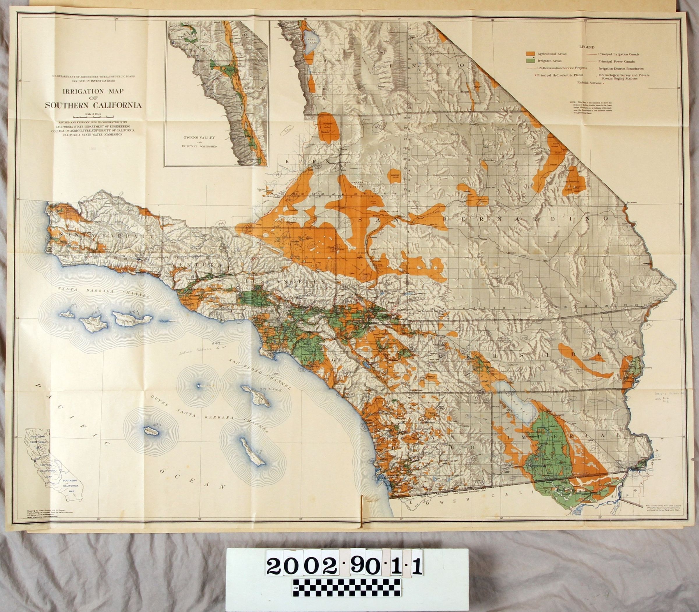
IRRIGATION MAP OF SOUTHERN CALIFORNIAEntry/Object ID
2002.90.1.1Description
Color: Blue; Green; Orange; White
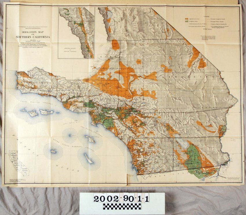
An irrigation map of southern California, published by the United States Department of Agriculture, Bureau of Public Roads, 1922. The title of the map is at the top left in black along with the names of the publishers and other investigative and cooperating agencies. The legend at the top right corner indicates the markings for agricultural and irrigated areas as well as for reclamation projects; hydroelectric plants; power and irrigation canals; irrigation district boundaries; and private stream gauging systems. The map's northernmost point is Owens Lake, the western is San Miguel Island and the Pacific Ocean, southern is the Baja border, and eastern is Needles. Major cities and counties are also marked. As the legend indicates, the agricultural areas are in orange and these are found largely to the central and northern counties; the smaller of these areas are to the south. Many irrigated areas are along the coast and in the Imperial Valley. Streams and bodies of water are also indicated. An inset detailed map of the Owens Valley tributary watershed is near the center of the top. An overall map of California is at the bottom left. A previous owner marked several areas with pencil throughout. With slight yellowing of the paper, many folds, marks, small stains, and small tears, the artifact is in good overall condition.Lexicon
Search Terms
Three-dimensional, Maps, United States Department of Agriculture, United States Bureau of Public Roads, Irrigation--Southern California, Agriculture--Southern California, Agriculture--Maps, California--Maps, Water diversion--California