Name/Title
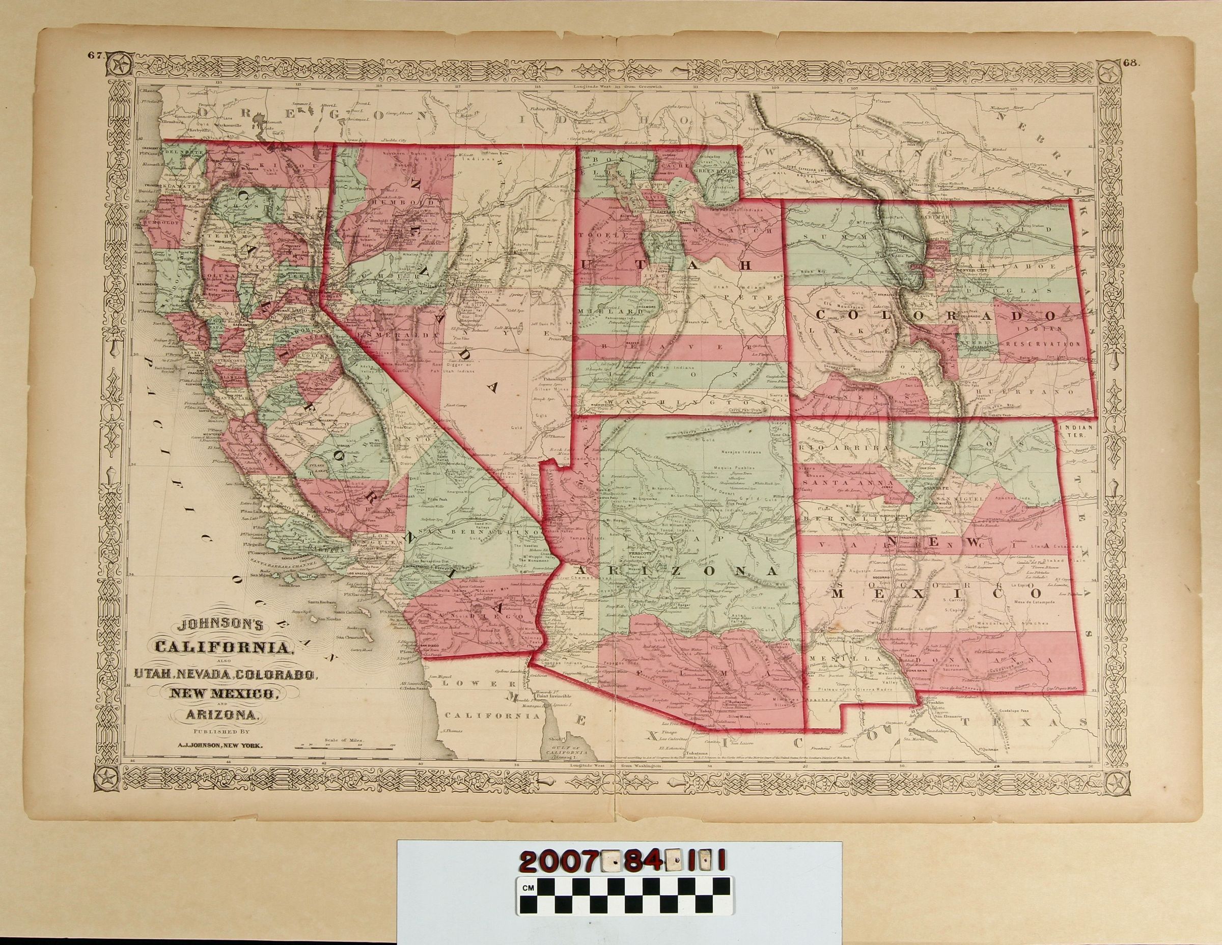
"Johnson's California, also Utah, Nevada, Colorado, New Mexico, and Arizona"Entry/Object ID
2007.84.1.1Description
"Johnson's California, also Utah, Nevada, Colorado, New Mexico, and Arizona," published by A.J. Johnson, New York, ca. 1866. The map shows these states and territories with white, green or pink-colored areas designated as counties and hand-touched red state borders. Such notable features as mountains; rivers; roads; the proposed transcontinental railroad lines; historic trails; cities, towns, and settlements; and more are included. The item was two pages of an atlas and the centerfold is about torn in half with tape holding the torn portion (along with two other torn areas toward the top) on the reverse. There are also small edge tears, creases, browning, and soiling, as well, so the overall condition is fair..Lexicon
Search Terms
West (U.S.)--Description and travel