Name/Title
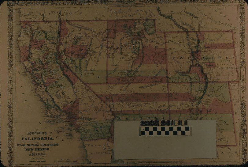
"JOHNSON'S CALIFORNIA WITH UTAH, NEVADA, COLORADO, NEW MEXICO, AND ARIZONA"Entry/Object ID
2003.261.1.1Description
"JOHNSON'S CALIFORNIA WITH UTAH, NEVADA, COLORADO, NEW MEXICO, AND ARIZONA"
Color: Black; Green; Red; White
A map titled "Johnson's California with Utah, Nevada, Colorado, New Mexico, and Arizona," published by Johnson and Ward, 1864. The item has an ornate border and the page numbers 66 and 67 at the upper left and right, denoting the atlas from which the map came. The borders of the state and territories are in thick red lines and counties within each are in green, red, and white. Typical features, such as cities and towns; rivers and lakes; mountain ranges; major roads; proposed rail lines; Indian reservations; trails; islands; and passes and canyons are of note. Portions of bordering areas, such as Oregon, Idaho, Nebraska, Kansas, Texas, and Mexico are at the edges. At the bottom left is the title, the publisher's name, and a scale of miles. The date of entry into the Library of Congress by A. J. Johnson is at the lower center. Degrees of latitude and longitude are also given at the borders. With creases, mainly at the corners; light soiling; browning; a center vertical fold; foxing; stains; and some edge tears, the overall condition is good.Lexicon
Search Terms
Two-dimensional, Maps, Johnson and Ward, West (U. S.)--History--1860-1890