Name/Title
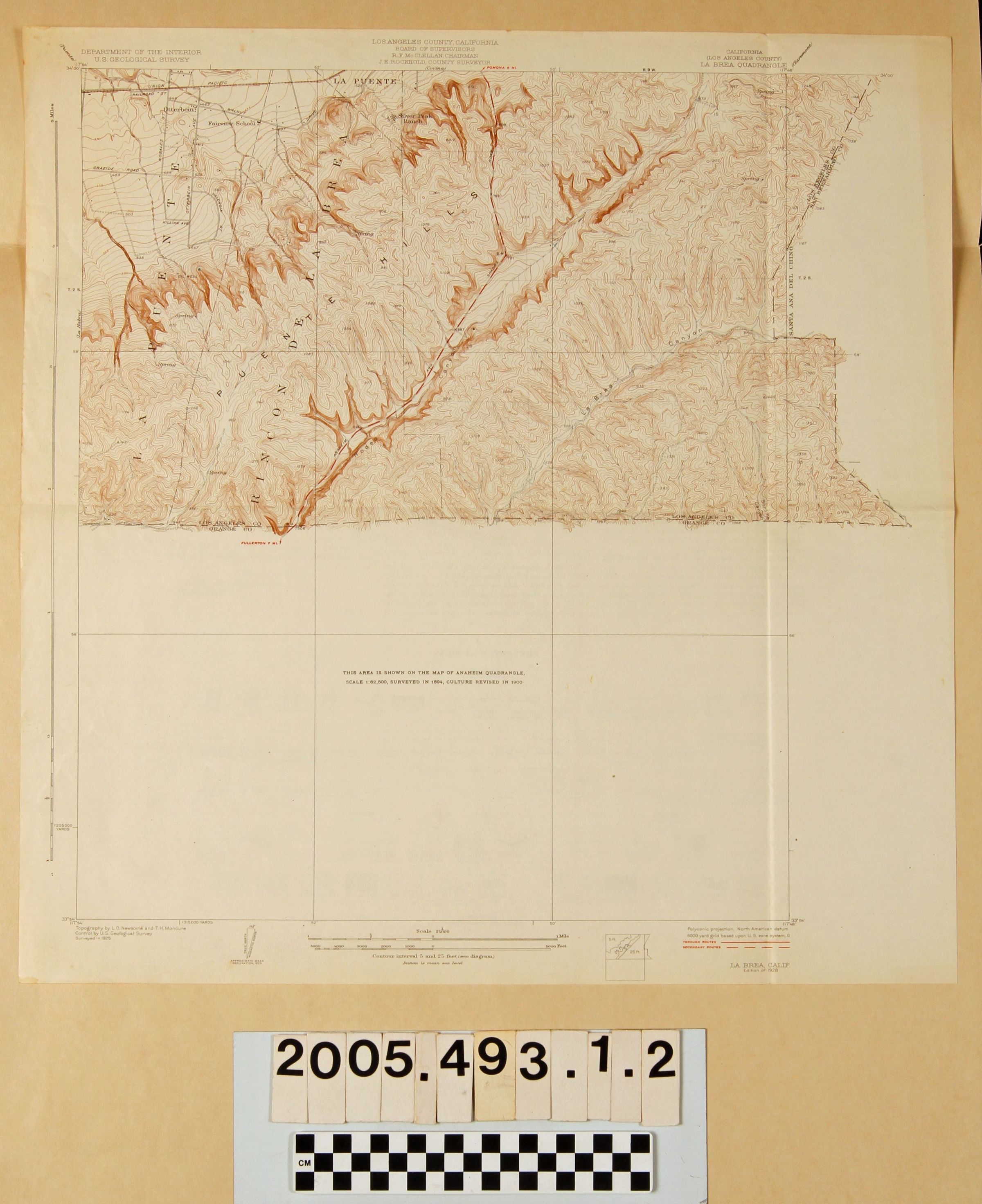
"LA BREA QUADRANGLE"Entry/Object ID
2005.493.1.2Description
MAPS, "LA BREA QUADRANGLE," U. S. Geological Survey, Department of the Interior, Surveyed 1925, Edition of 1928. The map shows an area from Otterbein (now Rowland Heights) at the top left to the Brea Canyon or Rodeo Canyon area at the center and the area around Tonner Canyon, referred to as La Brea Canyon at the right and constituting only portions embraced within Los Angeles County. The bottom half of the map is blank, because it corresponds to the Anaheim Quadrangle as noted. Topographical features, including elevations and changes in topography, as well as roads and highways, railroad lines, creeks and washes, ranch and county boundaries, settlements and other places and other features are noted. Aside from edge wear, browning and some creases, the condition is fair.Lexicon
Search Terms
United States. Department of the Interior. United States Geological Survey, Roads--San Gabriel River Valley (Calif.), San Gabriel River Valley (Calif.)--Description and travel