Name/Title
"LAZYMAN'S LETTER NO. 1" AND MAP OF SOUTHERN CALIFORNIAEntry/Object ID
2003.6.1.1Description
"LAZYMAN'S LETTER NO. 1" AND MAP OF SOUTHERN CALIFORNIA
Color: Blue; White
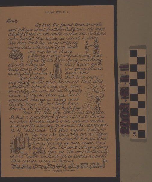
"Lazyman's Letter No. 1" and a map of southern California, published by Handcraft Studios, Los Angeles, 1929. The item has a preprinted letter, explaining sights and sounds in the Los Angeles region with accompanying cartoon drawings of a cowboy, oil, oranges, rain, the Los Angeles skyline, a line of automobiles, a film studio, bathing beauties, and others. The three-page letter leaves space for the recipient's name and that of the "writer" and has a postscript telling the reader to see the map on the back panel. The map shows the region from Beverly Hills on the west to Palm Springs on the east and the San Gabriel and San Bernardino Mountains on the north to Laguna Beach on the south. City names, landmarks and tourist destinations, and pictorial images of agricultural specialties for regions, noted attractions for others (such as an artist at Laguna or airplanes at March Field), and railraods and autos for rail and highway routes are also shown. As a border, local landmarks, such as the Hollywood Bowl, San Gabriel Mission, the Huntington Library, and Catalina Island, among others, are pictured. The title, copyright date, publisher, and a compass are at the bottom of the center. Other than a horizontal center fold and some browning of the paper, the condition is good.Lexicon
Search Terms
Two-dimensional, Maps, Handcraft Studios, Tourist trade--California, Southern