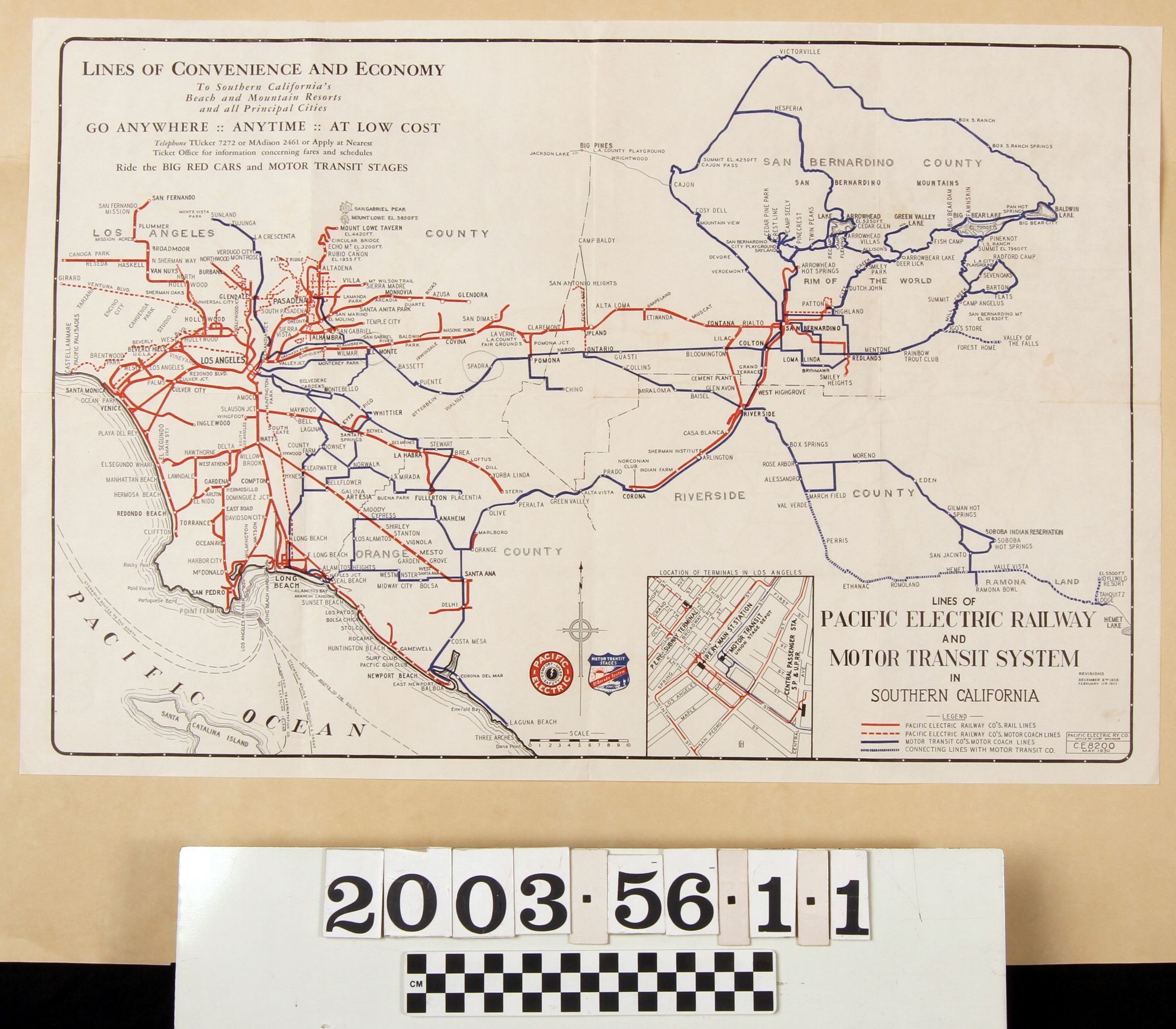
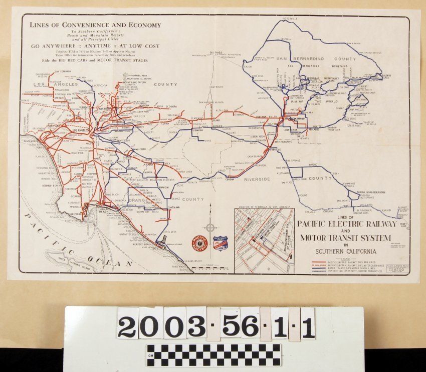
LINES OF PACIFIC ELECTRIC RAILWAY AND MOTOR TRANSIT SYSTEM IN SOUTHERN CALIFORNIA, MAY 1930
Entry/Object ID
2003.56.1.1
Description
LINES OF PACIFIC ELECTRIC RAILWAY AND MOTOR TRANSIT SYSTEM IN SOUTHERN CALIFORNIA, MAY 1930
Color: Black; Blue; Red; White
A map showing the rail and bus lines operated by the Pacific Electric Railway Company and Motor Transit Company, 1930. The items covers an area from Victorville on the north to Dan Point on the south and from Canoga Park and Pacific Palisades on the west to Big Bear Lake and Hemet on the east. At the bottom right is a legend showing that red lines denote the railway lines (solid) and bus lines (dotted) of the Pacific Electric, while blue lines show the bus routes (solid) and connecting lines (dotted) of the Motor Transit Company. The names of cities, communities, and stops on the several routes are indicated, as are county borders and names. Routes for the steamship and Catalina Island-bound ships are shown at the lower left. An inset next to the legend indicates stations in downtown Los Angeles. A scale, compass, and the logos of the two companies are at the bottom center. At the upper left is information on the companies and their phone numbers. The date, map number, and engineering office of the Pacific Electric Railway are at the bottom right corner. With a few creases, very light browning, and a half fold vertically and quarter folds horizontally, the overall condition is good.
Lexicon
Search Terms
Two-dimensional, Maps, Pacific Electric Railway Company, Motor Transit Company, Street-railroads--California, Southern, Bus lines--California, Southern