Name/Title
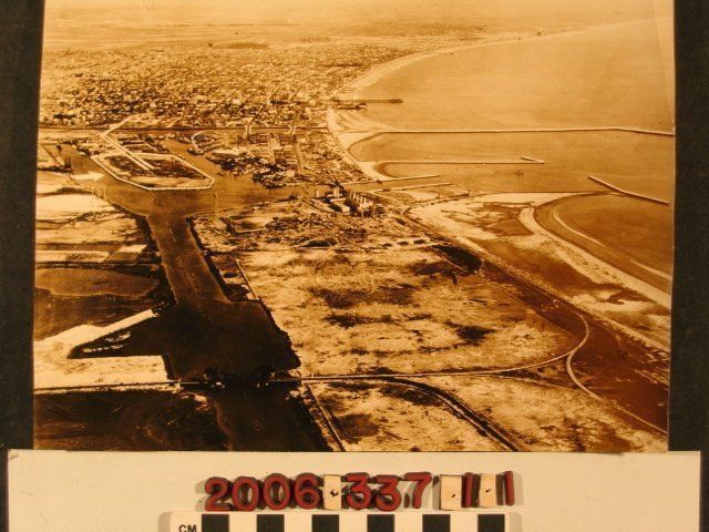
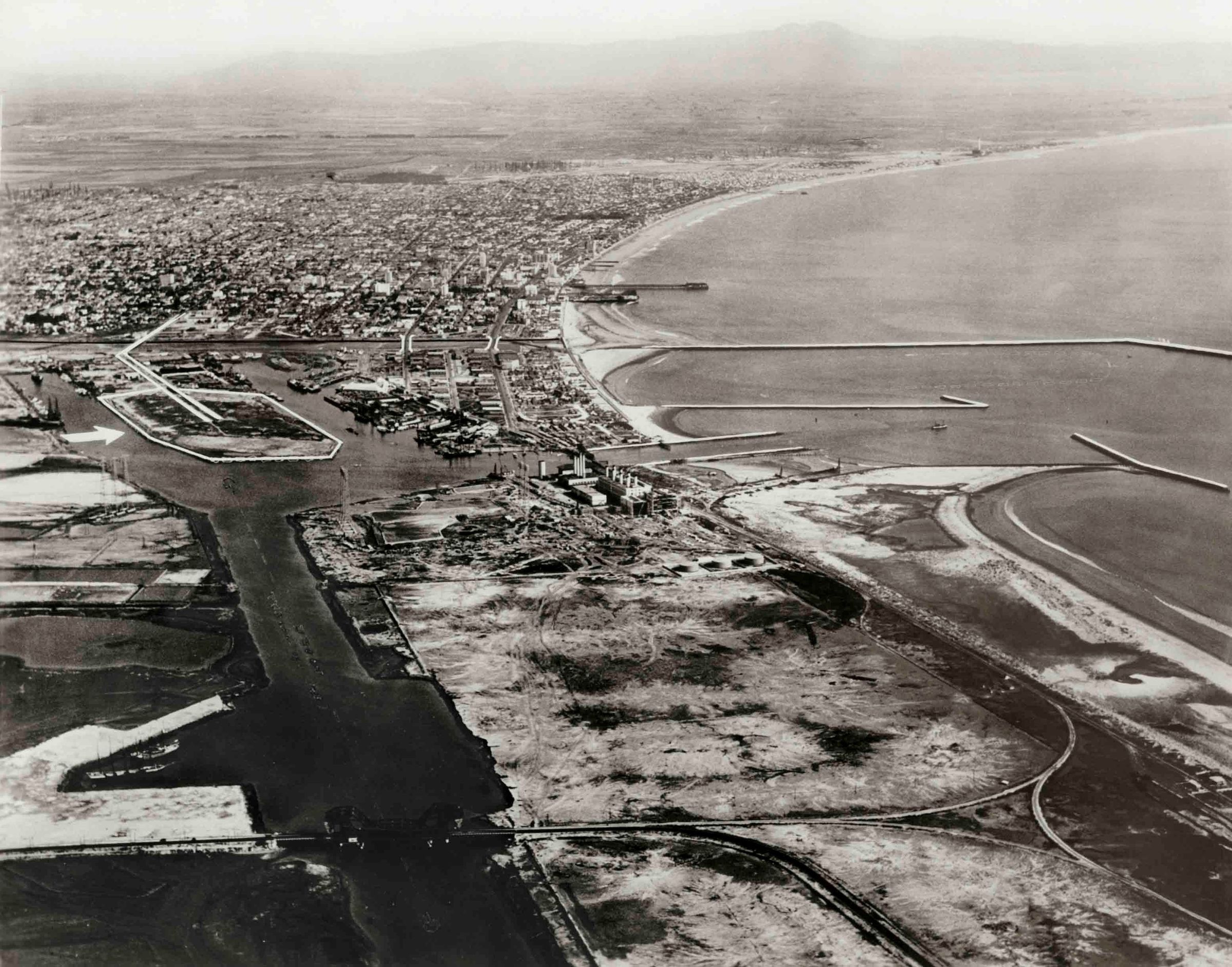
Long Beach Harbor and the coast southEntry/Object ID
2006.337.1.1Description
An aerial view of Long Beach Harbor and the coast south from Long Beach, 1929. In the foreground, lower part of the photo is the largely undeveloped harbor area with waterways and channels, some raods, a few berthing facilities nearest to downtown Long Beach, a power plant at the center and some of the causeways extending out into the ocean. At the left, an island is bordered in white, an arrow points to it from the left edge, and there are dual white lines seeming to indicate road access into downtown. The city of Long Beach is in the background, while further in the distance is the coastal area into Orange County and, behind some haze, the Santa Ana Mountains. On the reverse is an ink inscription "Long Beach - 1929." With masking tape on the back upper edge, some major creases, several puncture marks, and some stains, the condition is fair.Lexicon
Search Terms
Long Beach Harbor, Ports--California--Long Beach, Long Beach (Calif.)--Aerial views