Name/Title
LOS ANGELES AREAEntry/Object ID
2004.443.1.1Description
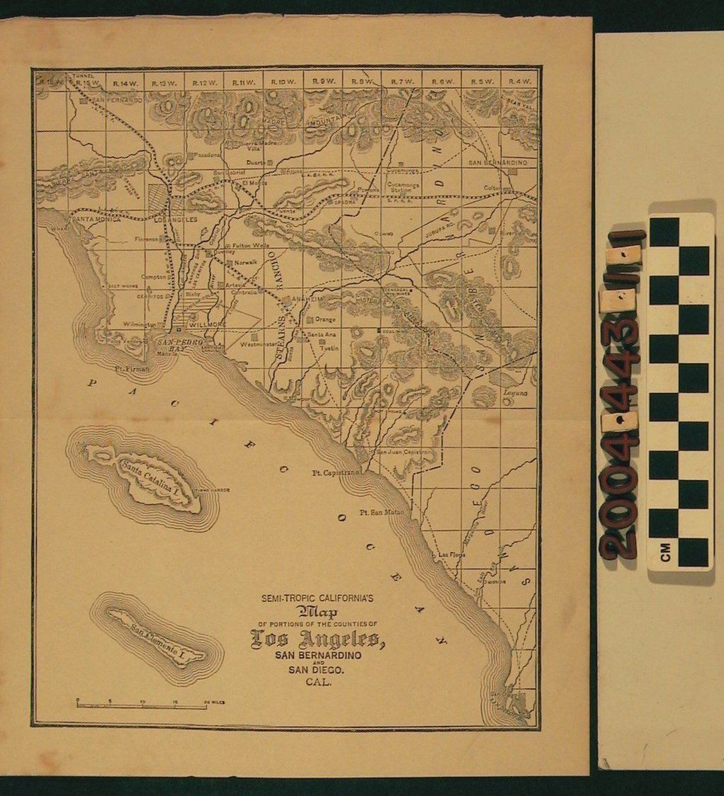
MAP OF LOS ANGELES AREA, 1886.
Color: White, Black
"SEMI-TROPIC CALIFORNIA'S MAP OF PORTIONS OF THE COUNTIES OF LOS ANGELES, SAN BERNARDINO AND SAN DIEGO, CAL," Map shows Stearn Rancho and parts of San Fernando, Sierra Madre mountains, San Bernardino, Colton, Santa Monica, Los Angeles, Pasadena, San Gabriel, El Monte, Compton, Cerritos, Norwalk, Santa Ana, Orange, Westminster, Tustin, San Juan Capistrano, Laguna, San Pedro, Chino, Puente as well as other cities. Southern Pacific Railroad and other railroad routes are visible. The map also includes the islands of Santa Catalina, San Clemente. The map is in fair condition due to surface soiling, discoloration, mold, tears and general overall wear.Lexicon
Search Terms
California, Southern