Name/Title
LOS ANGELES-AREA RAILROADSEntry/Object ID
2005.514.1.1Description
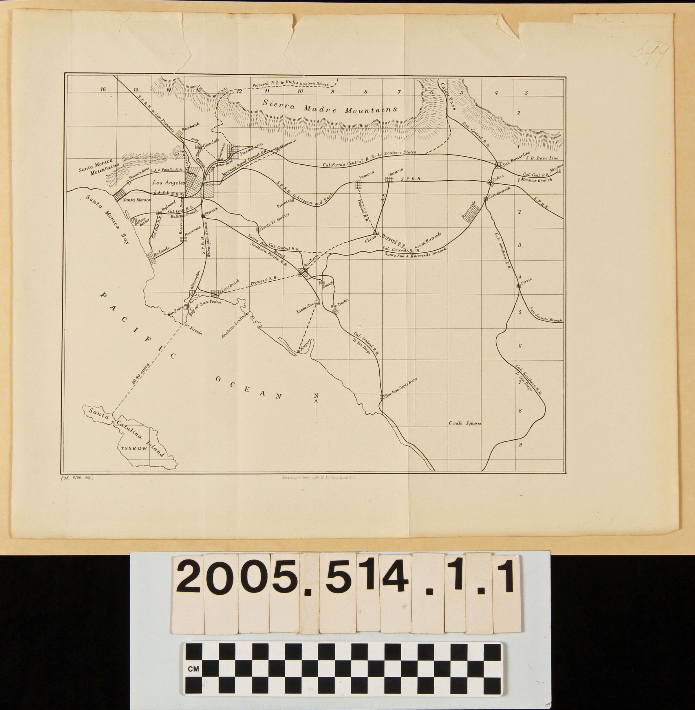
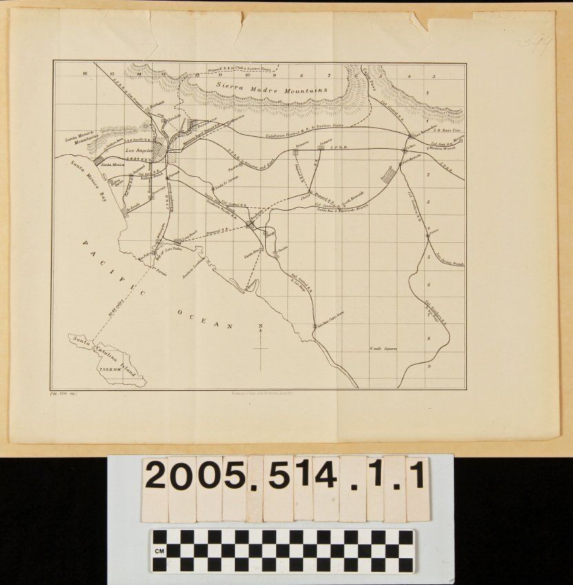
MAPS, LOS ANGELES-AREA RAILROADS, Harrison & Sons, Lithographers, June 1890. The map shows built and proposed rail lines in the area from the San Fernando Valley on the north to northern San Diego County on the south and the Pacific Ocean on the west to the Mentone and Perris areas on the east. There are six-mile square grids drawn in and city and station locations, including Puente along the Southern Pacific line, are indicated. At the bottom is the lithographer's name and at the bottom left is the date. Aside from three tears at the top that barely intrude upon the map, creases, and slight browning, the condition is good.Lexicon
Search Terms
Harrison and Sons, Lithographers, Railroads--Los Angeles Region (Calif.)