Name/Title
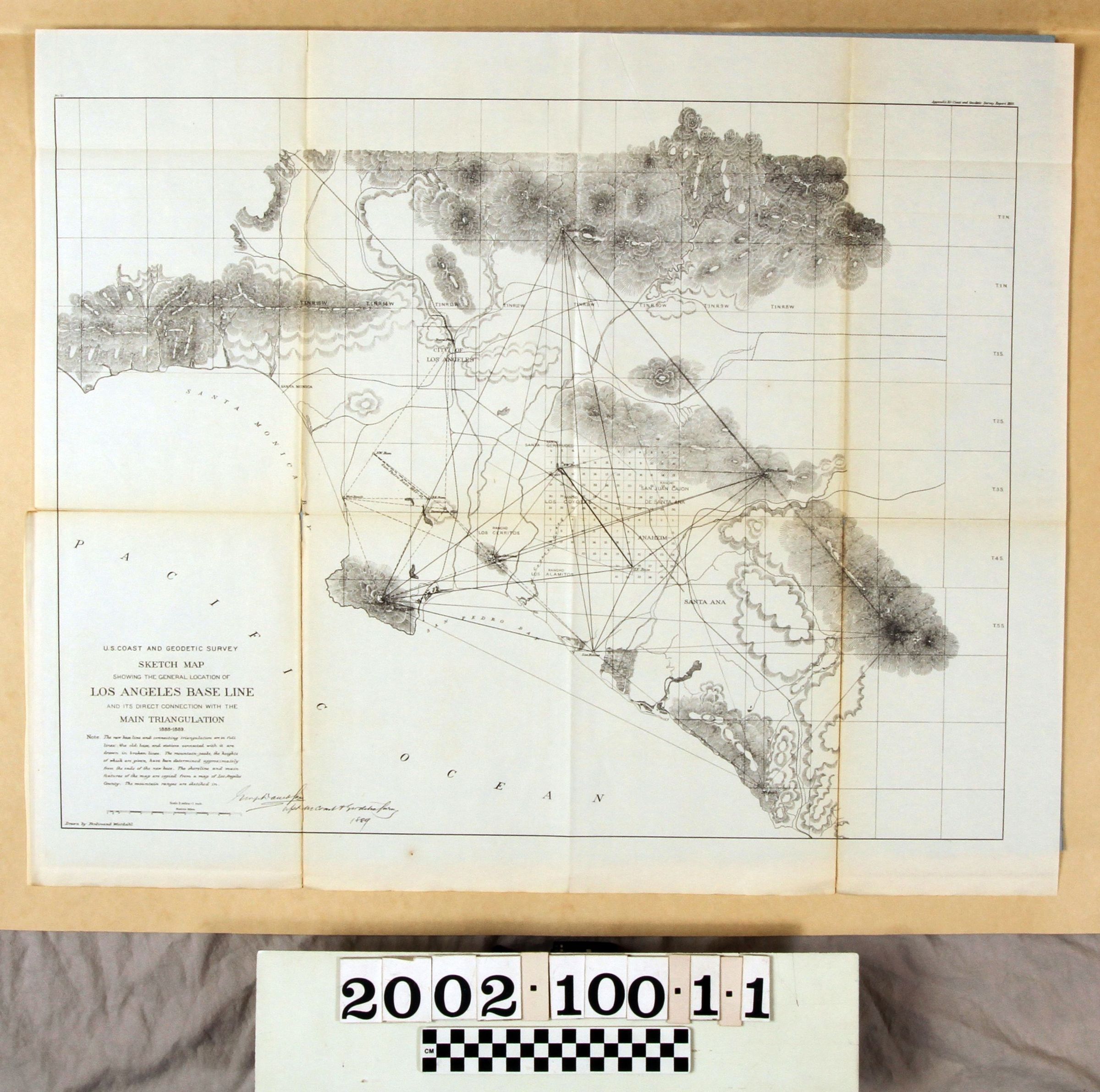
LOS ANGELES BASE LINE MAPEntry/Object ID
2002.100.1.1Description
Color: Black; White
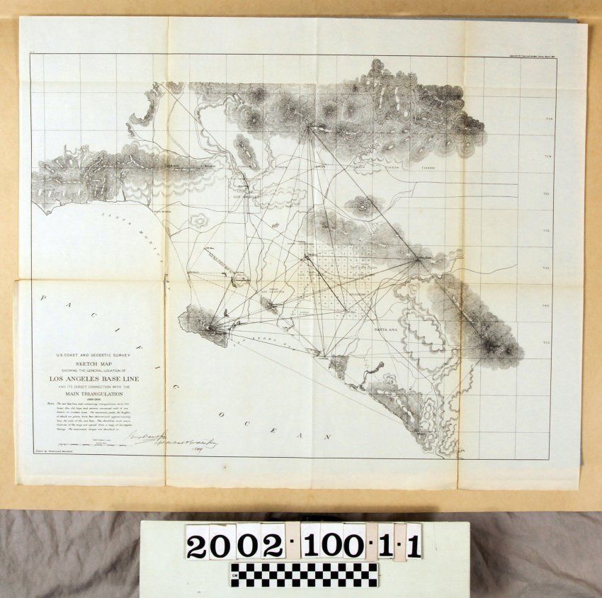
A map of the Los Angeles base line, 1889. The artifact shows the new base line represented with connecting lines that are in a diamond shape. The points are, counter-clockwise, Santa Anita, San Pedro, Niguel, and Santiago. The old base line is represented in a triangular shape composed of broken lines. This is located between Santa Anita and San Pedro. The city of Los Angeles is represented with a square box also between the latter. Mountain ranges, and the height of their peaks, are at the top, at the left, along with the Santa Monica Bay and the Pacific Ocean, and at the bottom right. At the top right is "Appendix 10 - Coast and Geodetic Survey Report, 1889." The title of the map, a description, a scale, and the name of artist Ferdinand Westdahl, are at the bottom left. A name, which is not discernible, is hand-written in black ink also at the bottom left with the date 1888. In fair condition, the artifact has some discoloration, folds, tears, and general wear.Lexicon
Search Terms
Three-dimensional, Maps, Maps--Los Angeles (Calif.), Mountains--Los Angeles (Calif.), Surveys--Los Angeles (Calif.)